VFRDiscussion ARCHIVE / READ-ONLYREAD-ONLY

Pikes Peak � It�S Better In The Wind

37 posts Started 13 Dec 2013 Last recovered post 17 Jul 2014 Wayback Machine snapshot 14 Apr 2016

#1
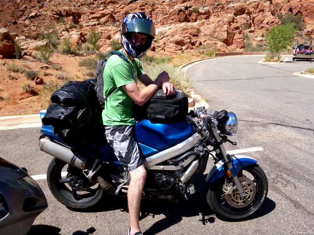
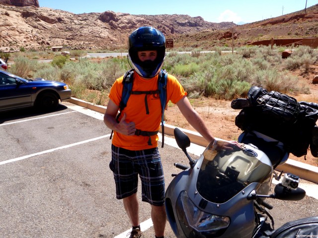
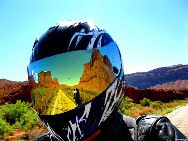
Selfie at Moab
Selfie at Moab

This is a story of the road. Of beautiful landscapes; fiery sunsets, snow-capped mountains, and rushing rivers.  This is the story of two Canucks and their thirst for riding the twisty byways of America. Of avoiding the evil network known as… “The Interstate.”  Of riding the highest paved road in North America. This is a story of deliberately leaving a perfectly functioning fuel pump off of a resurrected bike, and suffering the consequences. Okay, that last one is oddly specific, as time will tell.  

Background

What does one do with a couple weeks of vacation in August? Naturally, go on a bike trip. Myself (who I’ll refer to by the alias, uh… “Spencer”) and my buddy from university, we’ll call him “Jesse”, had some time off and we agreed that a change of scenery would be the best use of our time.  However, when it comes to planning, my mentality is “Less is More”, so actually choosing somewhere to go required more patience than I’m used to.

Being a stubble-jumping farmboy from Saskatchewan,  I have two requirements for a good change of scenery: elevation, and twisty roads. Fortunately, mountains supply both of those requirements. Add in a fascination with the Pikes Peak Hillclimb and the relatively recent paving of Pikes Peak to the summit, and we had our destination. Not too much planning so far!  I should note that we weren’t there at the same time of the Hill Climb, because we wanted to conquer the mountain without the additional crowds of the event.

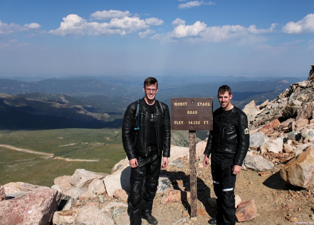
The characters: the only picture with both of us in it, Spencer on the right and Jesse on the left. 
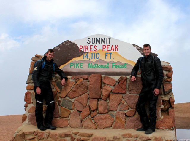
At the peak!
At the peak!


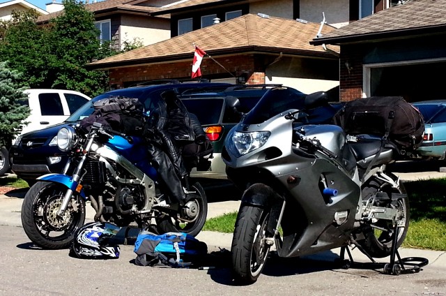
The bikes: my 1995 VFR on the left, and Jesse’s 2002 Suzuki GSX-R600 on the right. Mine is just on the road again after a 100,000km refresher including:

·         Front and rear suspension by Jamie Daugherty (I can’t believe how much better it feels now!)

·         EBC HH pads

·          chain and sprockets (+2 rear)

·         Rattlecan GM Quasar Blue Metallic paint and Ford Oxford White racing stripe (adds 2 HP at high RPM’s)

·         CBR929 gauge cluster with DRD speedo calibrator

·         All Balls steering head bearings

·          Ducati 848 Evo muffler with a handmade midpipe, and fiberglass-wrapped

·         Oil cooler deleted and looped from front of engine block

·         Yamaha V-Star 650 headlight with a handmade mounting bracket and eBay signal lights

·         JB Welded radiator filler neck from when I crashed it on California’s Hwy 36 last year (that’s another story, sigh…)

·         Fuel pump omitted for… simplicity? More on this later.

Jesse’s GSX-R is an ex-track bike made legal for the street again. As such, it has a ridiculously large rear sprocket, a ridiculously loud full titanium exhaust, and ridiculous amounts of aggressive brake pad dust on his white wheels. And, as I found out, front brake rotors that got pretty warped at some point. Scary.

Between me riding a fully naked bike, and Jesse cruising at 8000rpm at highway speeds, we had the prospect of an uncomfortable but ambitious goal of covering 6000km in ten days.  Comfort be damned! It's better in the wind. 
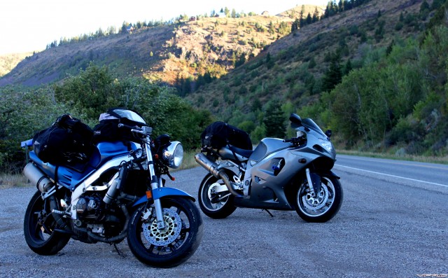
Break time.
Break time.

The route: Calgary to Pikes Peak, via the squiggliest lines on the map we could find. 
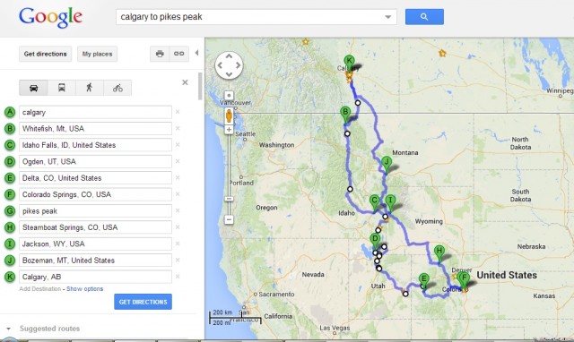
Overall Map
Overall Map


Bikes, check.  Passports, check.  Dreams of the open road, check. Let’s ride! 

Day 1: Calgary to Whitefish, August 10th.  ~410 km Day 1
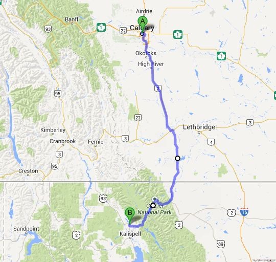
Day 1

  Leaving home.
Leaving home.

With a hearty breakfast at the neighbourhood Tim Horton’s, we packed up the bikes and got a not-so-early start at 10:30am. What can I say, I’m not a morning person, and I’ll be the first to admit it. We headed south out of Calgary and beelined for the border. The ride itself was flat and not very scenic, so we had no qualms about keeping up a healthy pace. We passed through Cardston, a town of about 3500 people, and one of my favourite places to go as a child due to its timeless feel and proximity to Waterton National Park. 

The wait at the border was a gamble of picking between two lineups: smaller cars and motorcycles, or RV’s and trailers. I elected to choose the “small vehicle” lineup just so we could chat to the other bikers, even though the RV lineup showed promise of moving faster. We met some middle-aged guys from Calgary, all on cruisers. We exchanged travel plans, and they expressed their concern that we hadn’t booked any rooms in Kalispell or Whitefish for the evening. At this point I was wondering if my lack of planning would bite us already.  After the easiest border crossing I’ve ever experienced, we parted ways with the cruiser guys. After riding on Hwy 89 for awhile, it was time to see what the big deal was with the Going-To-The-Sun Road.

First thought: “Man, they are PRINTING money at this toll both.”

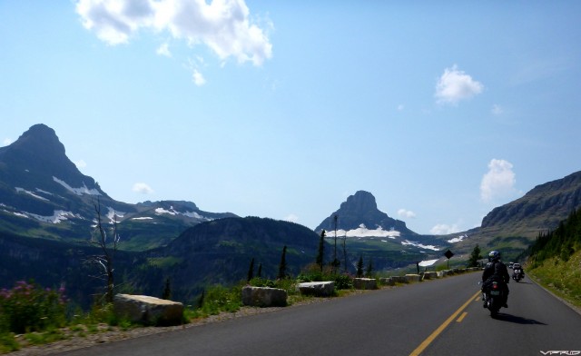
Second thought: “WOW. Amazing scenery, definitely lives up to everything I’ve been told about it.”
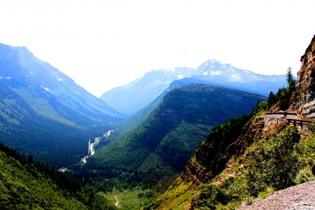
Going To The Sun.
Going To The Sun.

  More GTTS.
More GTTS.

  Still more GTTS.
Still more GTTS.


Third thought: “This is a road for going slow and enjoying the scenery, not for shredding tires.” With the combination of construction/gravel on the eastern tip, the precipitous drop-offs, and the 15 mph traffic gridlock, we had no choice but to take it in. 
Old Man
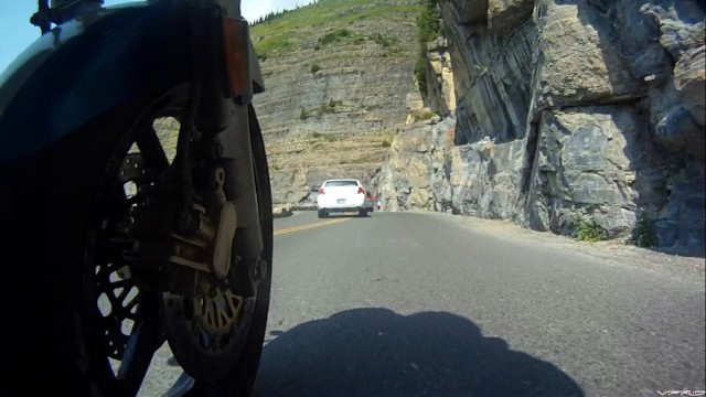
Old Man


Ahead of us for some time was an elderly man who was clearly scared of how twisty the road was, even at walking pace. He crossed the centre line waaaayyyy too many times to count. Cagers, I tell ya…

We rendezvous’d with Hwy 2 and finished the day by riding into Whitefish at sunset. Having skiied there several times in years past, it was nice to relax here with some warm weather and a cold beer. We ate supper at Piggyback BBQ, a favourite of mine. One delicious pulled pork sandwich later, it was time to try our luck with finding a hotel. After striking out at the big names, we ended up with a room at the Cheap Sleep Motel.  Truth in advertising; it was cheap, and I did sleep.

I’m calling Day One a success. 

#2

Hope  the  weather  holds  out   !!!!


#3

Judging by this 1st installment, this is going to be a great topic  :lurk:


#4

Excellent so far!


#5
Hard to put down and go to work.
#6

This post is rather sad in a way...It takes a Canadian to show me images of my country! :mellow:   As far as motels, just stay away from the "No Tell, Motel", trust me, not much sleep happening there!

All kidding aside, looks to be a like very nice trip report!

Cheers!


#7

Simply fantastic.  Impatiently waiting for more.  Yes, please . . .


#8

Ah  yes  the Cheap  Sleep  !!!


Got   love  hotel  that's  called  the  Cheap  Sleep  !!!


#9

First off, thanks for the positive feedback, guys!  Just the experience of writing about the trip is rewarding; seeing others enjoy it is just icing on the cake. Aaaaannndd I decided to skip uploading the videos day-by-day, I think I'll just compile one GIANT SWEET VIDEO at the end. You're welcome, Dutchy.  :beer:

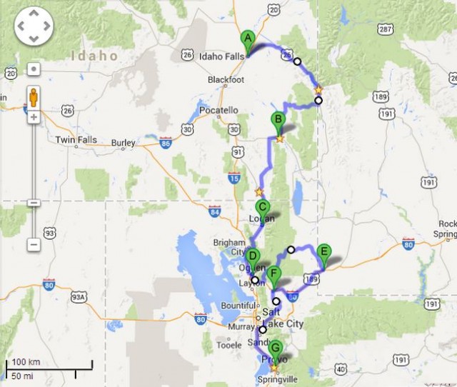
Day 2: Whitefish to Idaho Falls, August 11th. ~800 km.

.  

[image: Day 2 Map]
Day 2 Map


Day two saw the sun rising at 6:27 AM. And willing or not, I rose with it. Quick, get this man a cup of coffee! A banana and stale cereal for breakfast, courtesy of the Cheap Sleep’s continental offerings. Lovely.  I swiped an extra banana or two for the road; I like to think of it as a “cost effective solution” rather than being cheap. A look at the GPS estimated just under 800 km door-to-door to get to Idaho Falls. Prior to this trip, I’d only ever done one 800 km day, and I knew I’d be completely drained by the end of it. Jesse’s longest day was probably closer to 500 km, so we discussed plans for staying hydrated (basically drinking an entire 2 litre CamelBak between every fuel stop).  Fortunately, Jesse is an even bigger advocate of hydration than I am; he consistently drinks more to avoid fatigue. I minimize fatigue by riding a VFR instead of a GSX-R.   :goofy:
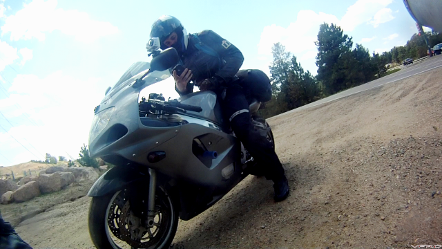
After a quick fuel stop (yeah, we were too lazy to do it the night before), we struck out south on Highway 93. We’d be on it for essentially the entire day. Less than fifteen minutes into riding (at mildly extra-legal speeds), I saw a Highway Patrol car heading the other direction. Clearly I hadn’t quite woken up enough to spot it. He kept going, though, so I decided to maintain my pace; two minutes later, two more Patrol cars surprised me yet again! I usually pride myself on being able to slow down for any vehicle make/model/colour that could potentially result in a speeding ticket. Did I drink decaf for breakfast??? I took the hint from the universe and slowed down.

After half an hour of being in the saddle, we reached the northern shores of Flathead Lake.  And, as I just found out, “Flathead Lake is the largest natural freshwater lake west of the Mississippi River in the contiguous United States”.  Also a fun fact; its average depth is greater than the average depth of the Persian Gulf. 

[image: Flathead Lake]
Flathead Lake


As you can see, it was a misty morning, with the glow of the sun diffused by the clouds and painting the lake a beautiful shade between orange and pink. We rode along the western shore, and whenever we got a full view of the lake, it was a slightly different colour than it was just moments prior. We lucked out with our timing, and my only regret is not stopping to capture more of it.

Obeying all posted limits, it took us about an hour to finally reach the southern tip of the lake. I was a little sad to see it go, but always looking ahead for the next surprise. We reached Missoula and took a break to fuel ourselves and our machines. Looking at the GPS, I saw something that would wake me up, since coffee didn’t seem to do the trick: TWISTY ROADS. 

[image: Montana Idaho Border]
Montana Idaho Border


Conditions couldn’t have been better.  Light traffic (basically none), dry and grippy pavement, and no sign of The Man.  Let’s get some heat and lean angle into those tires! 

[image: Borderline Twisties]
Borderline Twisties


The first half of the twisties was a combination of 25 mph sweepers, all climbing uphill with a 5% grade, all with very good sightlines. Entering each turn at approximately double the speed on the sign seemed like a consistent way to have fun, something I rarely do unless I am confident in how far ahead I can see. 

[image: More Fun Ahead]
More Fun Ahead


As I settled into a rhythm, I found myself spending much more time at full throttle.  It seemed like each corner was just as much fun as the day I first started riding; my silent concentration in the corners was interspersed with bouts of laughing and shouting in my helmet on the straights. Reminds me of how riding can be a rush like no other.

Once we were out onto straighter roads, we kept up our extra-legal pace for the next hour. Until…

[image: Out Of Gas 1]
Out Of Gas 1

… Until I made an unexpected stop about two miles from the lovely little town of Salmon, Idaho. Turns out all of my time spent with the throttle WFO took its toll. At this point, my earlier foreshadowing comes into play. Because, for some reason, I decided to not put the fuel pump back on my bike when I was working on it. Maybe I thought I was simplifying and lightening, as Colin Chapman did when designing Lotus cars?  Jesse rightfully mocked me for several minutes before heading off to a gas station. He drank two bottles of Gatorade and then used the empty bottles as mini Jerry cans.  I made the best of the situation by capturing the surroundings. 

[image: Waiting.]
Waiting.


So at full throttle for most of a tank of fuel, my effective range was reduced to about 125 miles (200 km). With the bike stuttering at anything above 80 km/h, I would have to shut it down and let the carbs slowly refill to get a couple extra miles. Note to self: REINSTALL THAT FUEL PUMP AFTER THE TRIP!

With a topped-to-the-nines tank, we continued south on 93. The land was opening up more and more, and we were traveling in a flat expanse between two mountain ranges close enough to see, but never close enough to touch.  We rode for over an hour at 85 mph, into a very annoying and neck-straining headwind. Having no fairings to tuck behind, I reminded myself that “It’s better in the wind”, my mantra for being able to look ahead at the road opening up, unobstructed by anything.  It’s also the name of a really cool video about a few guys riding around in the desert, I’ll see if I can dig it up.

[image: It's Better In The Wind]
It's Better In The Wind

[image: Open Road]
Open Road

Crushing miles at high speeds seemed like an effective strategy to save time, except for the part where the headwinds KILLED my fuel consumption. Long story short, I ran out of gas AGAIN.  Except this time, there wasn’t a town within a stone’s throw.  I even threw a stone to verify that.

After more rightful mocking, Jesse took off to refill my trusty Gatorade bottles. I managed another 25 km’s before the carbs were bone dry, which managed to get me within that stone’s throw of town; Arco, Idaho. A man and his family stopped in their van to ask if I was okay, and I explained (quite used to it at this point) that I was simply out of fuel and help was on the way. Eventually Jesse returned; turns out the only gas station in town was closed on Sundays, and his credit card was frozen (as his card company LOVES to do, regardless if he tells them he’s travelling). He eventually got it unfrozen and managed to pay at the pump.

I owe this man a beer. Or a dozen beer.

We took it easy after that, cruising into Idaho Falls at sunset again. Cruising the main drag, it was a toss-up between a Super 8 and Motel West; we chose the Motel West since it had a few bikes parked in the lot. 

[image: Motel West]
Motel West

We had a greasy supper at Shari’s, a chain restaurant I’d never heard of. It reminded me of a Denny’s, which is either damning praise (in terms of the culinary experience) or a very high compliment (in terms of the culinary experience WHEN DRUNK).

Back at the motel, we found out we were neighbours to the bikes in the parking lot; they were three gents from Manitoba! Us Canadians stick together without even trying.

Another day out in the wind, plus another unhealthily large supper, meant an early bedtime. Bring on Day Three! 

#10

Cheers!  :beer:   Just what I needed to cheer me up after learning what my annual payrise will be.....

No that is not socialism; that is capitalism for you....  :mad:

Do check your fuel pump's points as per my post "ride to hell part deux"  before reinstalling it...

#11

The venerable VFR running out of fuel before a stinky GSXR???  Oh the shame!  :goofy:

Probably nice having FI adjust for altitude.

Really well written and enjoying every bit of this.

#12

He's  refueling   !!!!!

#13

Very well written and interesting topic.

#14

Enjoying reading your ride! On our last VIcVan Ride, I ran out of gas....so I know how you feel :wacko:  in my case my riding companions knew when I was getting low....instead of ____mph I would slow down to 75.. :cool: I ran out at about 160miles when I normally get over 200 on a tank.... There is not a whole lot in Arco, ID 

[image: Img 9701 0]
Img 9701 0
Pickle's Place, Arco, ID

Looking forward to the next installment!

#15

Thanks for the compliments on my writing, gents! I really am just putting my thoughts to the keyboard. And the longer winter drags on, the more detailed I'll get with this ride report... 

Cheers!  :beer:   Just what I needed to cheer me up after learning what my annual payrise will be.....

No that is not socialism; that is capitalism for you....  :mad:

Do check your fuel pump's points as per my post "ride to hell part deux"  before reinstalling it...

Bummer about the payraise (or lack thereof), hopefully Sinterklaas makes up for it when he visits. Thanks for the tip on the fuel pump points, I learned a lot about it (and fine bottles of scotch!). 

The venerable VFR running out of fuel before a stinky GSXR???  Oh the shame!  :goofy:

Probably nice having FI adjust for altitude.

Really well written and enjoying every bit of this.

Yeeeaaaahhhh, I didn't think I'd be the range-limited one on the trip. I still get a laugh out of that! And speaking of FI and altitude, well... you'll see in a few days.  :goofy:

#16

Simply fantastic.  Impatiently waiting for more.  Yes, please . . .

Glad you like it so far! Day two is slowly in the works... could be a bit of a wait if I add the sweet riding footage.  :wink:


#17

3 days since 1st post COME ON!!!!!!!!!!!!!!!!!!!!!!  

:goofy:


#18

Any more pix pleaseeee....

#19

Any more pix pleaseeee....

Back from the internet-less void that is my parents' farm! Another installment is in the works... :happy:

#20

Where's  the  farm ?

#21

Where's  the  farm ?

Southeast Saskatchewan (beyond that, it's tough to pin it down to a town that anybody's heard of)

The black hole represents no cell coverage... half-kidding, my parents just live in a valley that happens to be a dead spot in the network. Not the worst if you're trying to get away from it all!  :cool:

Attached Images

  • [image: sk.png]

#22

First off, Happy New Year! Let 2014 be another year of adventure. Shiny side up, everyone.  :happy:

Day 3: Idaho Falls to Provo, August 12th. ~800 km. Day 3 Map
Day 3 Map


Another day, another delicious continental breakfast! This whole “rising with the sun” thing isn’t so bad after all… unless the first 100 or so km’s of your day happen to be in an easterly direction. D’oh! In this case, we headed out of Idaho Falls on Hwy 26. After staring into the sun for what seemed like forever, we turned south at the Palisades Reservoir on the Idaho-Wyoming border. 

Palisades Reservoir
Palisades Reservoir


The road started to get a bit more interesting here, so we took the opportunity to rig up our cameras. Jesse decided to try mounting his camera to his mirror, and was worried about it falling off; several minutes later, with copious amounts of 16ga wire, I “made sure she wasn’t going anywhere”. :goofy:    We took off again and had some fun along the shoreline of the reservoir. 

Catch Me If You Can
Catch Me If You Can

We eventually turned west, where the landscape opened up a bit more.  We followed Mother Nature’s lead and opened it up, too. Many miles to go, and we're burning daylight!  :wink:

Westbound On 34
Westbound On 34


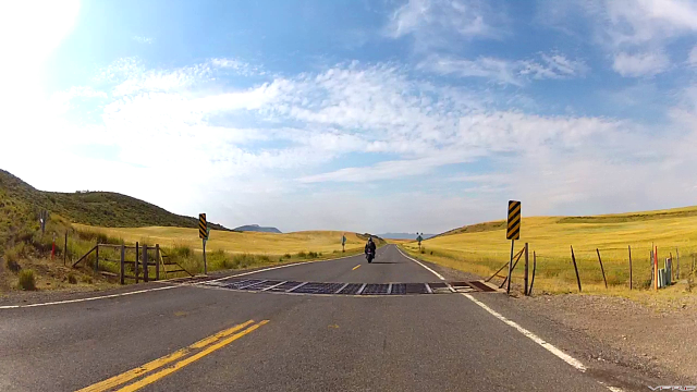
Heading south on Hwy 34, we passed the Blackfoot Reservoir. We began crossing the first of many Texas gates, which spiced up the ride significantly since I no longer knew if the next blind corner contained another surprise… I’m not sure what I’d rather encounter, a Texas gate or a belligerent bovine. 

Goodbye, Cows!
Goodbye, Cows!


We stopped for fuel in the thriving metropolis of Soda Springs, Idaho. It’s notable for… I’m not sure, actually. It had a gas station that was open, so that must count for something.   :goofy:

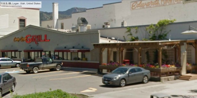
By this point, my stomach let it be known that it was unhappy with the food situation; AKA there was no food in it. So I gave in and we stopped in Logan, UT. The sandwiches at the Center Street Grill are quite delicious, as it turns out.  

Center Street Grill
Center Street Grill


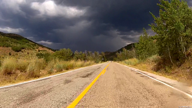
Sleepy with a full stomach, we continued on our southbound heading. A relatively boring stint saw us to Ogden. East of town, we took Scenic Route 39. Our previous evening of examining twisty roads on Google didn’t let us down. The weather, on the other hand…

100% Chance Of Rain
100% Chance Of Rain

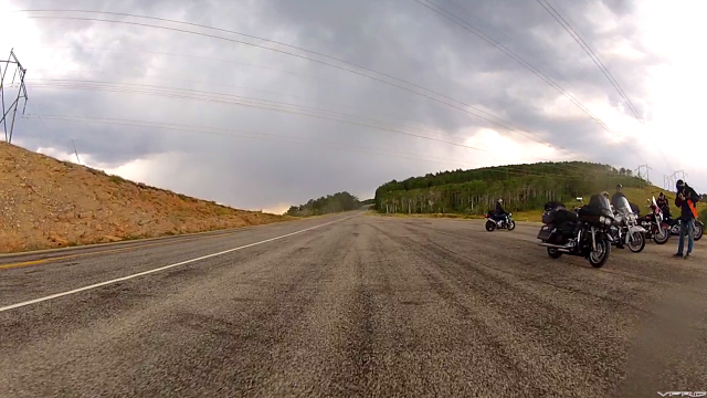
The first half of the ride was dry, at least. Long, sweeping curves were the name of the game. We climbed up, up, up, and the land opened up with some great views.  We rode without our rain gear for as long as we dared; finally a pull-off area appeared and we took it as a sign. We chatted up the riders who pulled in coming from the other direction; they were relaxing from the downpour they just rode through. And yet again, they were Canadian (from BC I think)! We’re well represented on the road. 

More Canadians
More Canadians


Donning our raingear and saying goodbye, we ventured forth. Not even two miles later, we hit the rain. I was still wanting to have fun on the amazing curves, so I only dialed back my “dry pace” ten percent or so.  Probably not the wisest to maintain the speeds that I did, but I trusted my tires and managed to leave Jesse behind (which doesn’t happen very often). 

Let It Rain
Let It Rain

Eventually, the rain and the twisty roads came to an end, and we stopped for fuel in Evanston, WY. Our second time in Wyoming that day! Talk about taking the long way round. To make some miles, we unfortunately did a stint on the freeway, heading west on I-80/84 to Morgan, UT. We then cut south towards East Canyon State Park, which delivered on its promise of great views and some fun curves. A few miles south of East Canyon Reservoir, though, we had to stop. Police had closed off the road ahead… and looking at the GPS, it was the twistiest bit! We sat and waited, and after a couple minutes, two naked bikes passed by, coming from where the road was closed.

Road Closed
Road Closed


As it turns out, the road was closed because Yamaha was filming a commercial for the new FZ-09! I did some digging around while writing this report, and found the end product. Personal opinion: I don’t think it’s the greatest ad ever, but it’s cool knowing I rode those twisty bits less than a few minutes after they were filmed.  

http://www.yamahamot...66/0/video.aspx

East Canyon
East Canyon

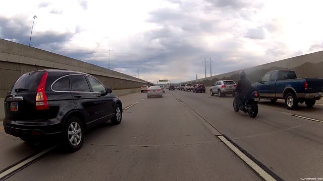
We rode the remaining twisties out to  I-80, then slogged through rush hour traffic (and friendly lane-sharing CRV drivers) until we made it to the finest Comfort Inn in Provo. 

Salt Lake City
Salt Lake City


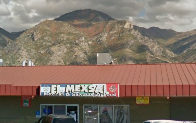
After 800km’s of all sorts of scenery, wildlife, weather, and great roads, I didn’t feel like doing anything beyond taking a shower and passing out. But Jesse’s battery was giving him grief (bump starting became more common than not), and so we had to head to the nearest PartZoneAutoSourcePepBoys something or other shop to get a new one. Luckily, they did, and we were able to find a great local restaurant along the way. If you’re ever in the neighbourhood, don’t judge a book by its cover, because El MexSal has a fantastic menu. It may look like a hole in the wall, but the tastebud experience more than makes up for it.

El MexSal
El MexSal

Day 3 is a wrap, can't wait for Day 4. It's better in the wind. 


#23

  Enjoying the reports!! Nice job.

Thanks for posting :lurk:


#24

Thank you for sharing your adventure and pics with us!!!  Very enjoyable reading, looking forward to the next installment.

Rollin


#25

Nothing  like   Mexican food  and  couple  of  adult  beverages  to  end  a  great  day  of  riding .

Thanks  for    posting  ..


#26

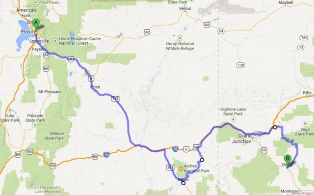
Day 4: Provo to Delta, August 13th. ~600 km.

Day 4 Map
Day 4 Map


After three days on the road, I expected to start feeling worn out. But feeling worn out would have to wait… I’m on vacation! Today, this day, we conquer Moab! And by conquer, I mean see as much as we can see within a few hours. Time to hit the road, after doing the morning ritual of the ABC’s (checking Air, Brakes, and Chain) and topping up our fuel tanks. 

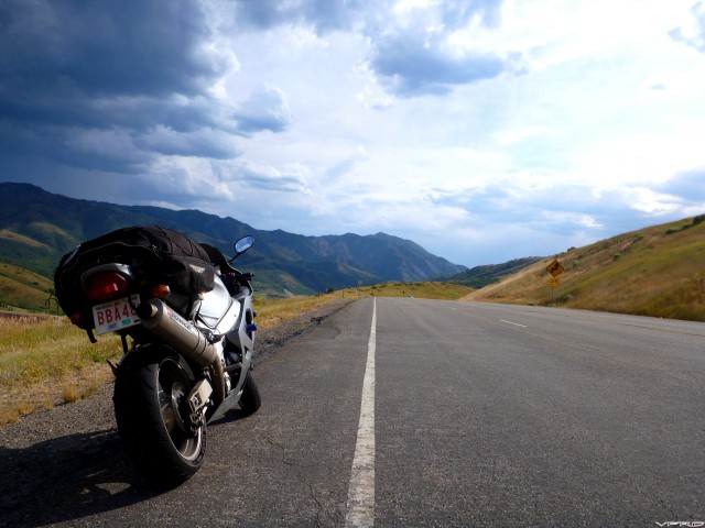
Outside Provo
Outside Provo


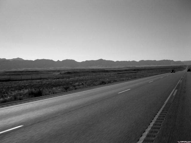
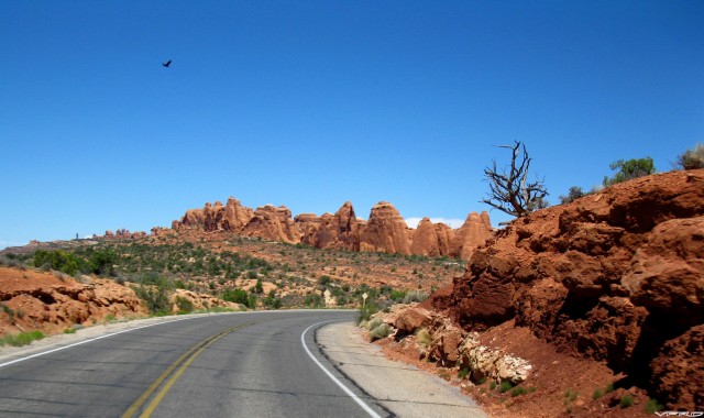
We struck out east on U.S. Route 6, the second-longest highway in America. (I only found this out because Google labeled it as the “Grand Army of the Republic” highway).  Initially, the landscape was quite similar to what we saw the previous day.  After about an hour of riding, though, it had definitely changed from the gentle tree-covered slopes to more harsh and upright rock bluffs. 

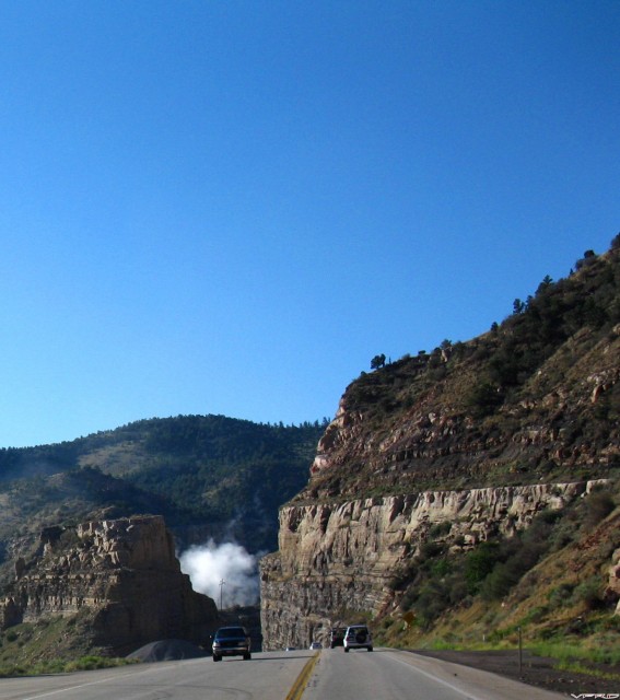
Near Price Canyon
Near Price Canyon


The descent through Price Canyon Rec. Area and on towards the town of Price was the final step in the terra firma transformation.  The highway traversed fewer elevation changes, and the harsh bluffs became a distant backdrop rather than an imminent photo op. 

U.S. Route 6
U.S. Route 6


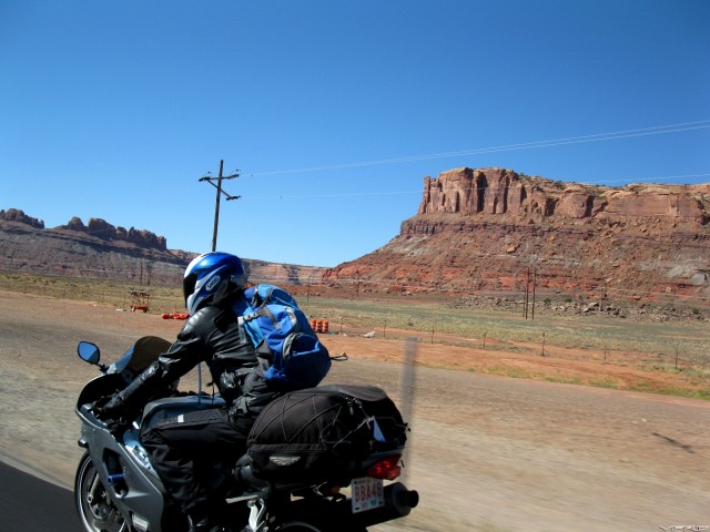
The seemingly ever-distant rocks started to close in… only this time, they were red. I smiled to myself, because if this seemed cool, Moab would for sure blow it out of the water.  :happy:

Rocks Turning Red
Rocks Turning Red

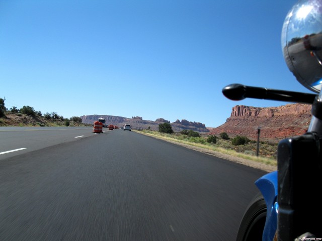
I pulled alongside Jesse and snapped a few pics as we slowed for the long line of traffic. Construction, it seemed, was something that was necessary to support the herds and herds of people on their way to see a bunch of weird-shaped rocks.  :goofy:

Construction Begins
Construction Begins


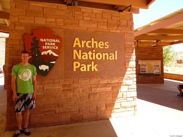
We (deliberately) rode past the entrance to Arches National Park in order to fuel up in Moab, crossing the cloudy Colorado River just on the north end of town. By this time, it was noon, and the full-leather protection was starting to stick. A supremely quick fuel stop, and we headed towards the park entrance. 

[image: Colorado River]
Colorado River

Once we arrived at the Park’s information centre, we found the water fountains and drank as much as we comfortably could. I then proceeded to drink a bit more for good measure. I knew I’d be losing a lot in the next few hours, judging by the intensity of the sun and the resultant +40,000 degree heat. I may be exaggerating a bit, but still. It was very warm. 

I'm A Tourist.
I'm A Tourist.


We decided that since the park had a speed limit of 30mph or so, we’d squid it up and ride without leathers for a while. I piled mine precariously high under the increasingly strained cargo net. Perhaps today would be the day my pasty white chicken legs would catch a tan! (Spoiler alert: they didn’t tan.) 

Squid Alert 1
Squid Alert 1

  Squid Alert 2
Squid Alert 2


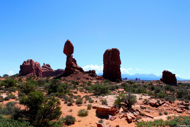
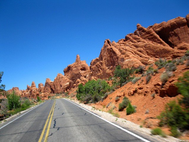
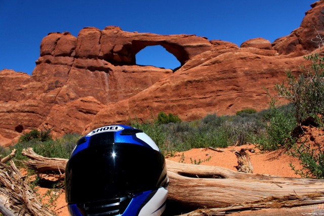
Fully geared down as skin crayons, we hit the park road at a brisk 30mph. The first stop along the way was Balanced Rock, a large rock that somehow climbed onto another and used its innate sense of balance to stay standing. Truly amazing stuff.  :goofy:

Balanced Rock
Balanced Rock


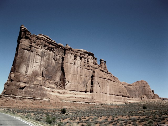
The next notable sight along the way was the bold outline of Courthouse Towers.  Standing tall and imposing, the road takes a slight detour at its base. 

Courthouse Towers
Courthouse Towers


After riding for half an hour, we got to our destination of Delicate Arch. Well, not exactly. To get to the arch itself requires a bit of a hike, more than we had time for. The shortcut method was to do the shorter hike (only a couple hundred yards), but it wouldn’t get us as close to the arch.  Win some, lose some. 

Climbing
Climbing


Leaving our bikes (and gear, and personal belongings, and…) in the parking lot, we began climbing. The rocks along the trail were cracked and bleached, almost as if they were the severely dehydrated skin of the land. Yet somehow, plants were still growing. 

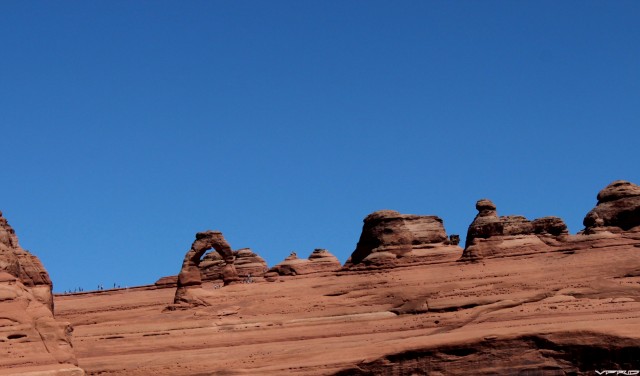
Delicate Arch
Delicate Arch


The trail ended, and we were atop a crest. A crest quite far from Delicate Arch, it seemed. I’ll be honest, I was disappointed at how far this trail hadn’t taken us. But with no other choice, I just zoomed in all the way and snapped away. This photo is a crop of the original zoom, and those specks along the skyline are people who did the long hike. So it looks like I’ll need to return to Moab to do some hiking…

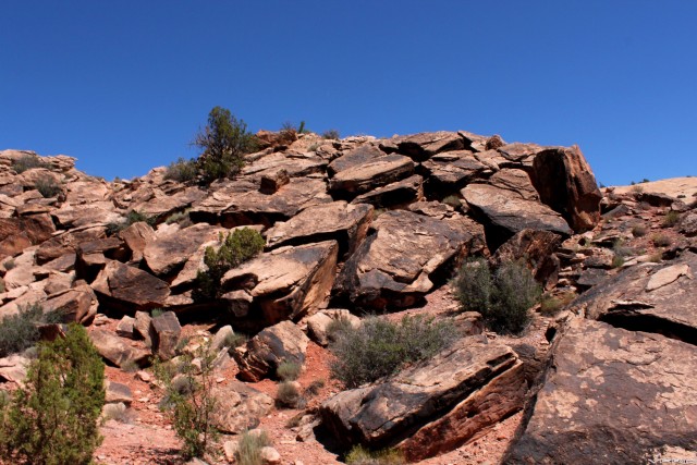
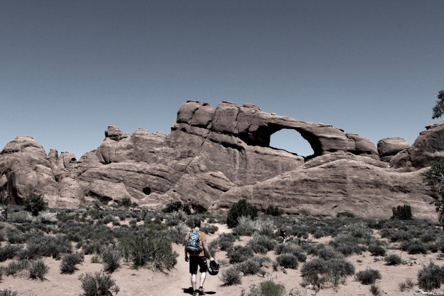
We had already burned a couple hours in the park, so we had to resist the urge to stop for every little rock that looked cool. And there were quite a few that were interesting. I’ll let the pics do the talking. 

Alien Planet
Alien Planet

One last stop...
One last stop...

Mother Nature Knows Best

I forget which arch this Is.

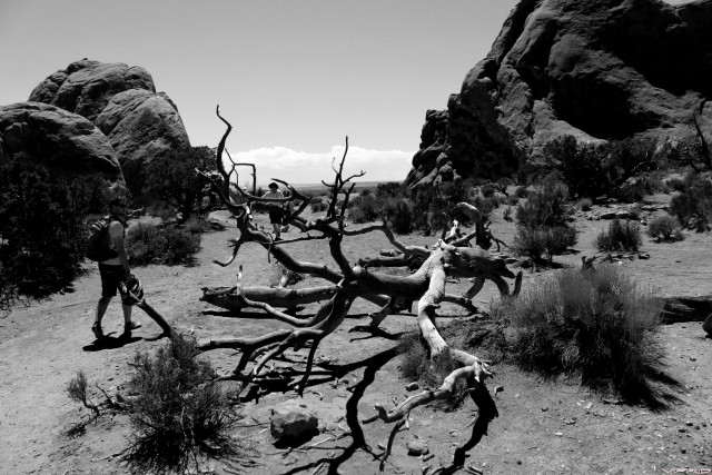
Dead Tree Is Dead
Dead Tree Is Dead

[image: Small Bike, Big Rock]
Small Bike, Big Rock

Goodbye, Moab
Goodbye, Moab


I’ll be coming back to Moab for sure. 

Hiking
Hiking


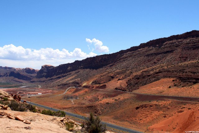
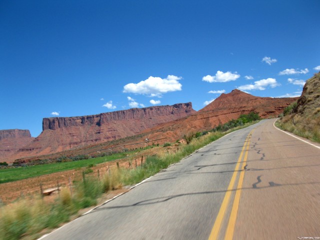
We took our leave of Moab by riding northeast on Hwy 128, which also offered beautiful scenery. Unfortunately, this was balanced out by some of the worst tar snakes I’ve ever ridden on, making it difficult to ride quickly. All the more time to see the sights, I suppose… 

East Of Moab
East Of Moab

We finished the day by riding the Grand Mesa Scenic Byway, passing through Mesa and ending in Delta, Colorado. Unfortunately for you guys, the road was too fun for me to be taking pictures while riding. The land had transformed back into smoother foothills, and this gave the byway plenty of changes in elevation and extremely fun curves.

Arriving in Delta, another nondescript motel was the name of the game, and after taking care of ourselves and our bikes, we found an oddball restaurant. The oddest part of all was our waitress, who decided she wanted to speak with an extremely out-of-place accent (British girl living in Texas, maybe). Not sure if she was practicing for a role in a play, or if she was having fun with a couple of weary travelers.

Another day in the wind, thanks for following along. 


#27
I appreciate you taking the time to post your journeys. I hope you found the time to go to a pueblo on a reservation. It is hard to get a real experience usually without knowing someone there. A Pow Wow is a start. I knew people at the Taos pueblo and learned a lot about the good and the bad of what they went through and are going through. If not, on your next trip.

Again, thanks for posting. I am hitting the cabin fever max right now and need the mental motorcycle stimuli.
#28

I appreciate you taking the time to post your journeys. I hope you found the time to go to a pueblo on a reservation. It is hard to get a real experience usually without knowing someone there. A Pow Wow is a start. I knew people at the Taos pueblo and learned a lot about the good and the bad of what they went through and are going through. If not, on your next trip.

Again, thanks for posting. I am hitting the cabin fever max right now and need the mental motorcycle stimuli.

Thanks for the feedback, I'm glad you're enjoying my report! Half the reason I'm writing it is due to the winter weather (with no end in sight, apparently). The other half of the reason, of course, is to give back to VFRD.... :beer:

Unfortunately, we didn't have much time booked for excursions off our bikes; I do quite enjoy learning about lifestyles and histories that are different from my own experiences. But, like you said, I'll just have to do it on my next trip... (of course there will be another) 

Cheers!  :happy:


#29
Very cool photos and great write up. Gives me another place to shoot for. Hope to read another report after the weather warms up. Thanks for sharing!
#30

Thanks for the report, Spencer. This has really been a great read. Make me want to jump on my bike and ride west. 

It is a shame work gets in the way of riding. 


#31

Yep, these bucket lists are killin' me.


#32
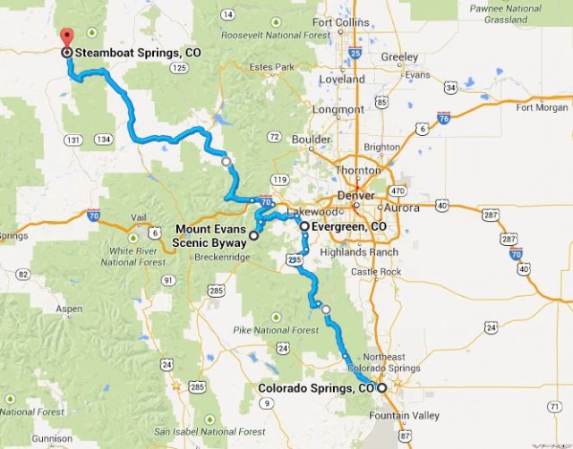
Day 6: Colorado Springs to Steamboat Springs, August 15th. ~450km. 

Note to self; write ride report sooner, the details are fading! Good thing for pics and videos to refresh my memory.  With any luck, I’ll get this done before riding season starts…

Day 6 Map
Day 6 Map

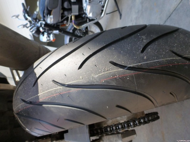
With about 2000 miles on the clock, the turning point in the trip had come. We were at our most southeasterly point in Colorado Springs, and it was time to head back to home sweet home. There was one major obstacle, however; Jesse’s rear tire (an old Pilot Power) had rapidly run through its remaining tread, and we weren't going anywhere without a new one.

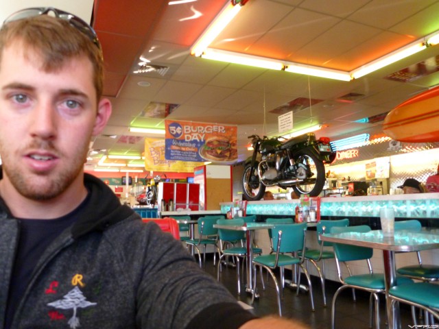
Using the power of the almighty Google, we found Pikes Peak Motorsports, who agreed to spoon on a new tire that very morning.  The service rep recommended a place for breakfast, Gunther Toody’s, and we strolled down the road to investigate.

Breakfast
Breakfast


It was a neat 50’s era diner with a motorcycle as its centerpiece (how can you go wrong with that?), and we hogged down a hearty breakfast of eggs, bacon, toast, OJ, and coffee.  By the time we had finished and meandered back, Jesse’s bike was ready and waiting. 

New Shoes
New Shoes


We paid for the tire, thanked the guys for getting a tire on so soon, and headed northwest towards Woodland Park. Once there, we turned onto Hwy 67, which turned out to be a narrow, scenic, and mildly curvy route. 

We're Not lost...
We're Not lost...


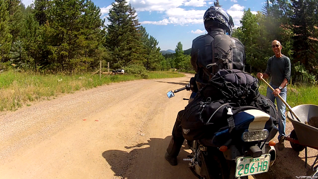
We had to stop more than a few times to make sure our general direction was towards the highest paved road in North America… Mount Evans.  Somewhere west of Evergreen, the paved road turned to gravel. Hmm… the GPS didn’t say anything about this. We stopped and asked a man who was fixing his driveway; yup, the gravel is a shortcut to Squaw Pass Road, which is what we wanted! Probably the least fun set of switchbacks I’ve ever ridden, though… deep ruts and heavy washboards everywhere. 

Gravel Shortcut
Gravel Shortcut

We emerged generally unscathed, and began climbing steeply along the length of Squaw Pass Road. There was a re-paving project in progress, and lots of heavy machinery in transit, so it was slow going for the most part.  We arrived at the junction at Echo Lake, and headed south to Mount Evans. 

[image: Mt Evans Ahead]
Mt Evans Ahead


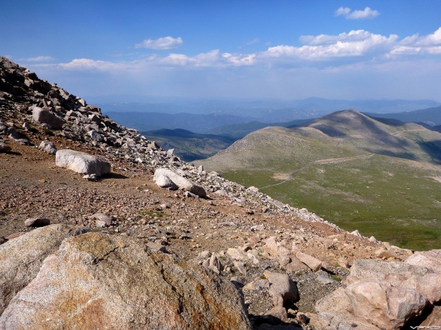
The road itself was bumpy, with many pavement irregularities, patches, potholes, and dips and crests. Definitely more suited for sightseeing than setting speed records. We settled in and took in the scenery; the slopes were covered with a large-scale dusting of boulders.  Partway along, we passed Summit Lake, known for being the bumpiest section of road (and having very friendly wildlife standing on the road, apparently). 

[image: Summit Lake]
Summit Lake

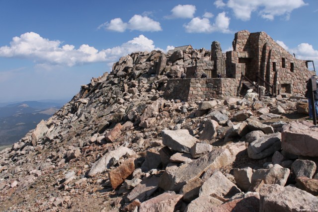
Once at the top we were greeted with more spectacular views (and wildlife!). 

So Many Rocks
So Many Rocks

Visitor Centre
Visitor Centre


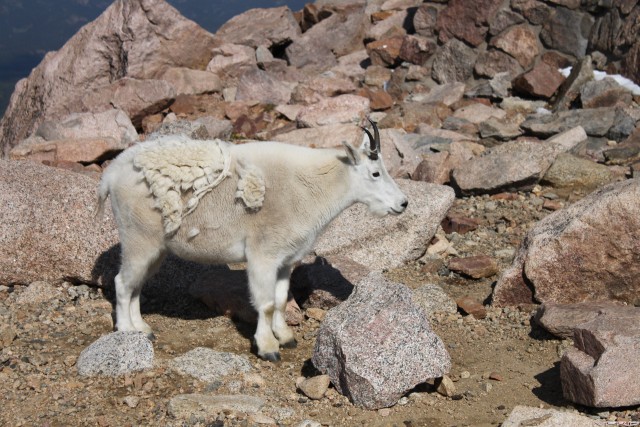
This little guy and his friends were being guarded from tourists by a stern-faced Park Ranger; I’m sure I wouldn’t be able to keep a straight face if there were a handful of mountain goats playing on the rocks behind me! 

Wildlife
Wildlife

The obligatory picture of conquering the summit: 

Team Canada At The Top!


With the afternoon wearing on, we had to make miles to get to Steamboat Springs by dark. The road north of Echo Lake held a surprise for us; more great curves!  Sorry, superslab, you’ll have to wait just a bit longer…

Downhill Longboarding


Route 40 from Idaho Springs to Steamboat Springs was one of my favourite stretches of road; it started off with a good set of hairpins and sweepers, and by the time we were closer to Steamboat Springs, it had opened up into gentle curves riding the hills. As the sun was setting, it was tough to get much better than that. 

[image: Racing The Sun]
Racing The Sun

  [image: Smell The Roses]
Smell The Roses


We pulled in to the hotel that Jesse had booked in the morning (I don’t remember the name, we literally just used it as a place to close our eyes for a few hours).  Although we had lost the race to beat the sunset, that didn’t stop us from going out on the town to treat ourselves to a nice dinner. We did conquer Mt Evans, after all…

We ended up at the Mahogany Ridge Brewery and Grill, which had received good ratings from the people of the Internet. After sampling a couple of pints and downing a delicious supper, I have to agree; this place is a must-go if you’re in the neighbourhood. It’s a bit pricy, but worth it. And the service was fantastic as well (our blonde waitress was easily an 11 on a scale that only goes to 10; sorry, no pics!). We made our way back to the hotel and passed out, the day’s riding efforts taking their toll. 

[image: I like Colorado.]
I like Colorado.


#33

A bit of follow-up to add here....

Apparently life got in the way of me posting the last couple days of the trip, but we ended up crunching out 500-mile days to make it back on time. Plus one of those days was south central Wyoming, so I don't have pictures. 

In the meantime, here's a video compilation of the trip! 

(Make sure to watch in HD and fullscreen!)

[video: https://youtube.com/embed/NuX69XQ2rXM?html5=1&fs=1]

Huge thanks to Jesse (GSXR pilot) for putting the video together, and I'd also like to thank everyone here for following along and chipping in. 

Have a great day.  :biggrin:


#34

Oh  no   start ,  great  video  tho.


#35
That's me running out of fuel...
#36

very nice video. Thanks. But were you really that short of time that you couldn't wait for Old Faithful to blow??

C


#37

Great video, love the ending, RRrrRRRrrRRRR.......................RRRrrrRRRRrrrRRRRrr...


End of thread · 37 posts recovered Wayback Machine snapshot 14 Apr 2016