VFRDiscussion ARCHIVE / READ-ONLYREAD-ONLY

::: Vietnam - Day trip to explore new roads - Ride Reports - VFR Touring/Riding

17 posts Started 19 Jan 2012 Last recovered post 29 Jan 2012 Wayback Machine snapshot 18 Jun 2012

#1
Posting this while I am missing so much my bike and all the twisty roads....
Some unwanted aftermaket titanium parts is currently in my bone so I gotta stay home and grazing my sadness...

=======================

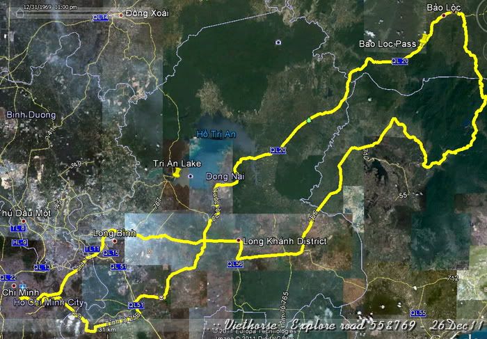
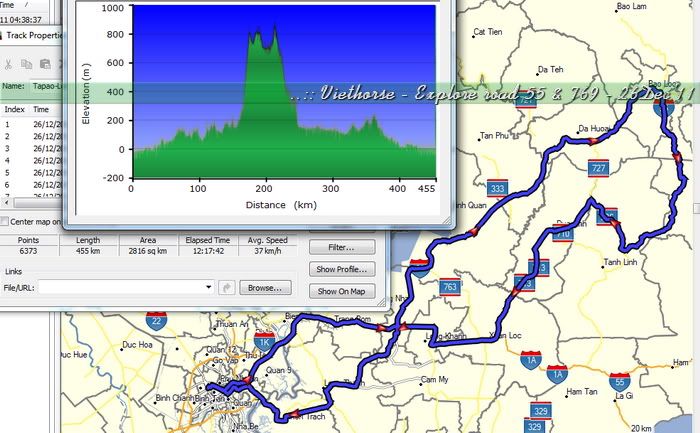
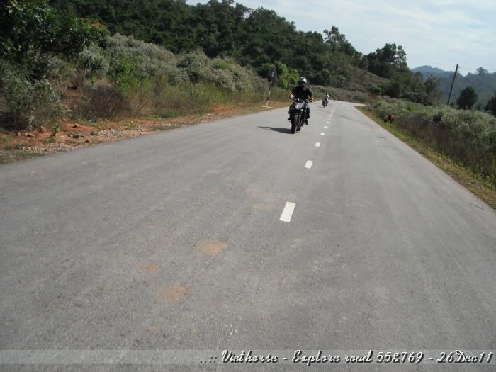
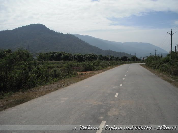
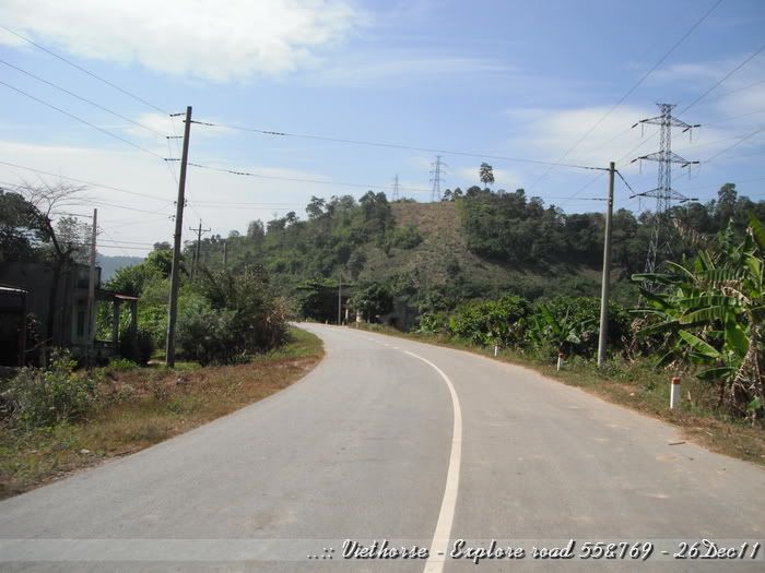
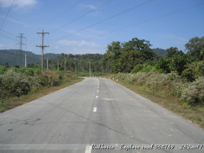
This thread is for a day trip with 455km. Main focus of the trip is National road #55 an #769.

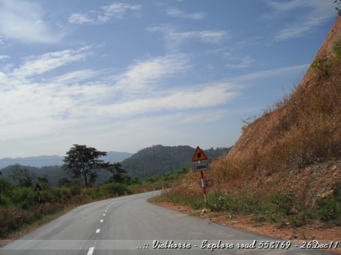
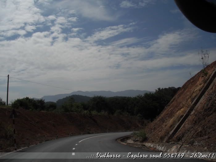
Road #55 has been built long time ago but it was not so convenience for transportation as there is a better road for the same endpoints. Therefore, it has not been taken well care of. After some raining seasons, with some flooding, road surface quality has been known as terrible road, and it just fit for dirt-bikes.
We have just heard that there are some drivers has experienced driving thru this road and found that almost completed repairing. So that is why this trip happened for.

Road #769 also has the same story. It's small provincial road but it has been used as alternative road while the main road under re-construction. Now the construction is almost finished, most of the vehicles has top utilizing the alternative road.

Below is our tracklog for that day trip for your info:
[image: Posted Image]

Track details:

[image: Posted Image]
#2
Departed from home abt 4:30hrs. Met my friend right at 05:00
Rode abt 130km then we stopped for breakfast:
[image: Posted Image]

The noodle in this area is much different from what I have experienced. Dont know how to explain. But that might be something customized.

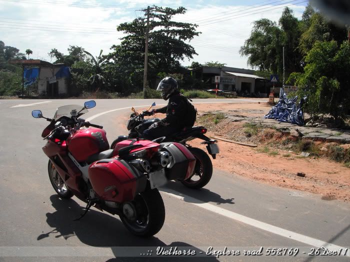
Where we stopped for breakfast - me with Candy Red VFR and my friend with Black FZ1:
[image: Posted Image]

The pink scooter in the above photo is quite common in Vietnam. It is consider as personal daily transportation means.

A cup of coffee after the noodle. The breakfast cost us total abt $4 for both of us. What the cheap breakfast.

Stopped for fuel after 188km before reaching the starting point of the Road #55:

[image: Posted Image]

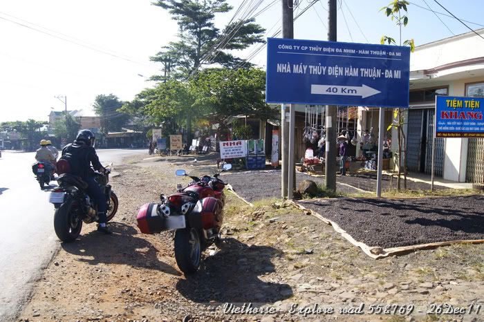
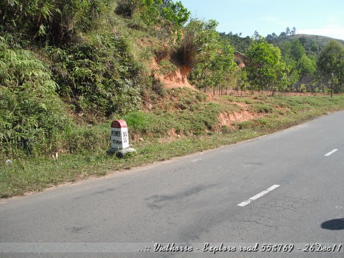
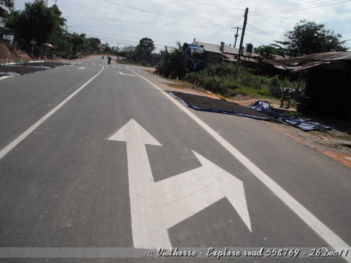
Here is where we took the turn from Road#20 to road #55:
[image: Posted Image]

The signboard says: Da-mi and Ham Thuan hydro-powerplants -> 40km. That means we will pass two power plants in the next 40km.

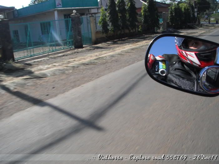
Strange road make us quite cheerful. Took of my P'nS camera to ready taking any photo. This is my Fuji XP10 - the one has waterproof, dustproof, vibrationproof but the image quality is not good, in comparison with my frequently use Canon A620:
[image: Posted Image]

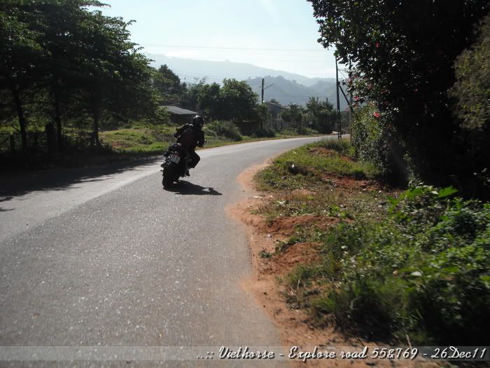
Passed abt 5km with lots of house along the road, we started seeing the twisty road signs - flowers seen also:
[image: Posted Image]

Stopped here to set-up camera and others before entering the pass:
[image: Posted Image]

[image: Posted Image]

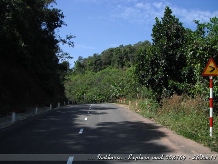
Twisty roads:
[image: Posted Image]

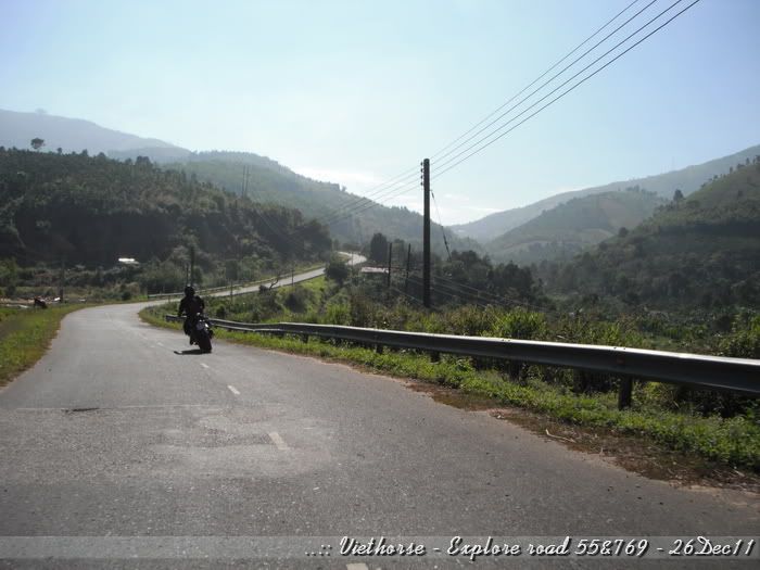
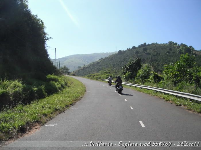
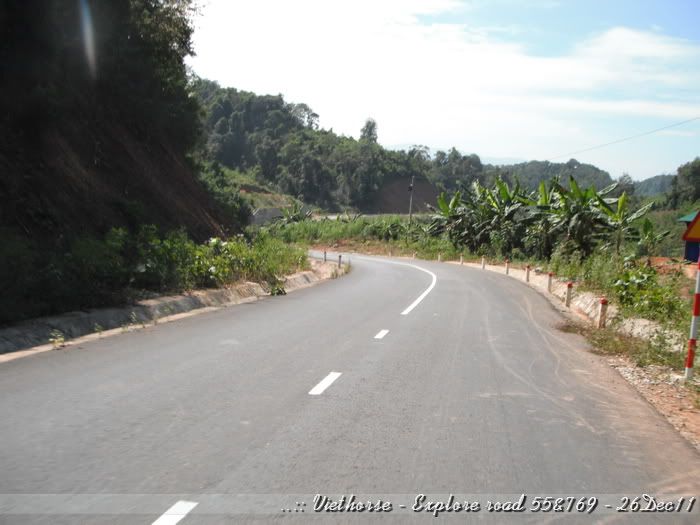
Long radius:
[image: Posted Image]

Straight:
[image: Posted Image]

Twisted:
[image: Posted Image]

[image: Posted Image]

(to be continued...)
#3
Good stuff as always VH. Thanks for posting!
#4
Awesome pictures! What a beautiful country
#5
Thanks guys, so you may know how fidgety I do as I gotta stay home awaiting for my shoulder to be fixed... Hic hic...

Let's move on.

...
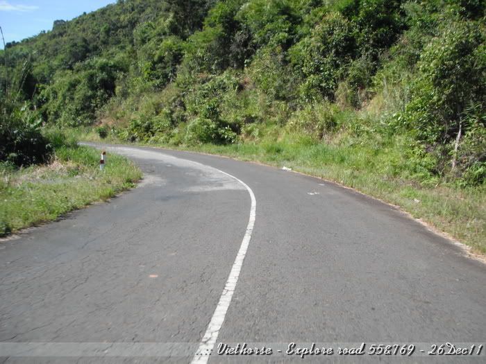
After some soft bends:
[image: Posted Image]

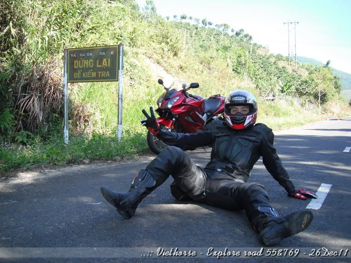
... suddenly we saw the signboard:
[image: Posted Image]

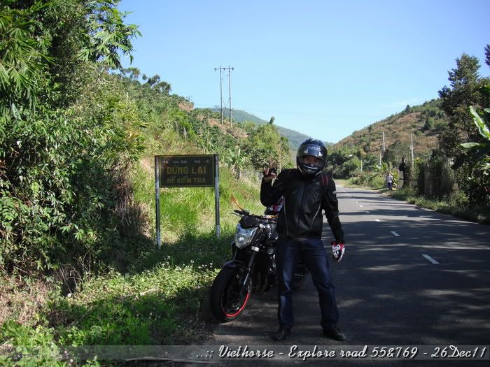
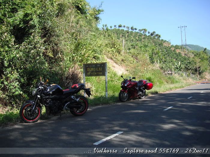
The signboad says: "All means of transport, stop for checking".
[image: Posted Image]

This board may be presented very long time ago, since the road has been newly built for some hydro-power plants construction, but removal of this board may take time and costly :D :
[image: Posted Image]

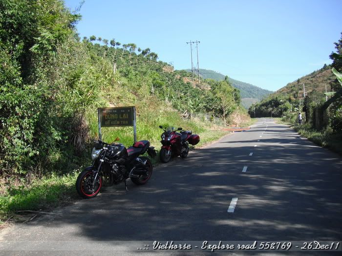
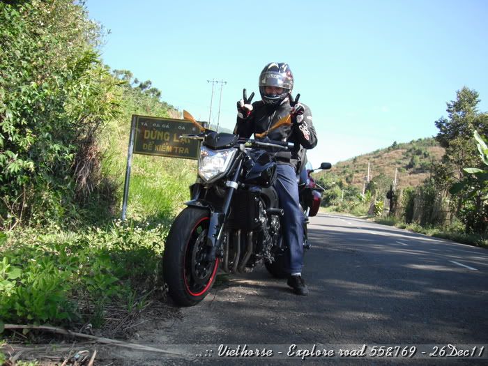
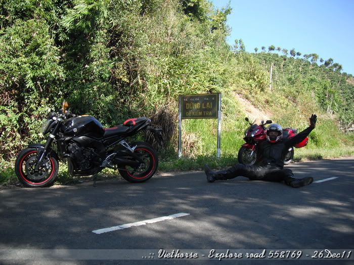
We still respect the requirement, all stopped:
[image: Posted Image]

Let's check around first, before someone checking our bikes:
[image: Posted Image]

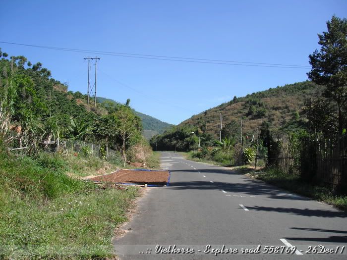
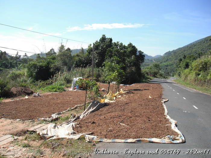
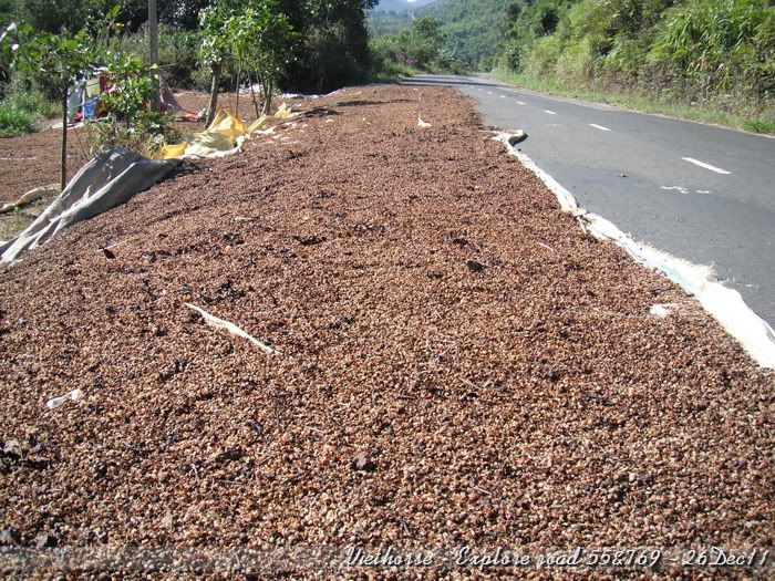
If you followed some of my previous threads, you may know what are the brown things besides the road:
[image: Posted Image]

Yeah, that's coffee. The farmers they use this method to dry the coffee. It's known that natural drying will give better quality than drying by machinery:
[image: Posted Image]

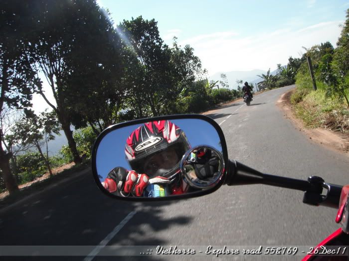
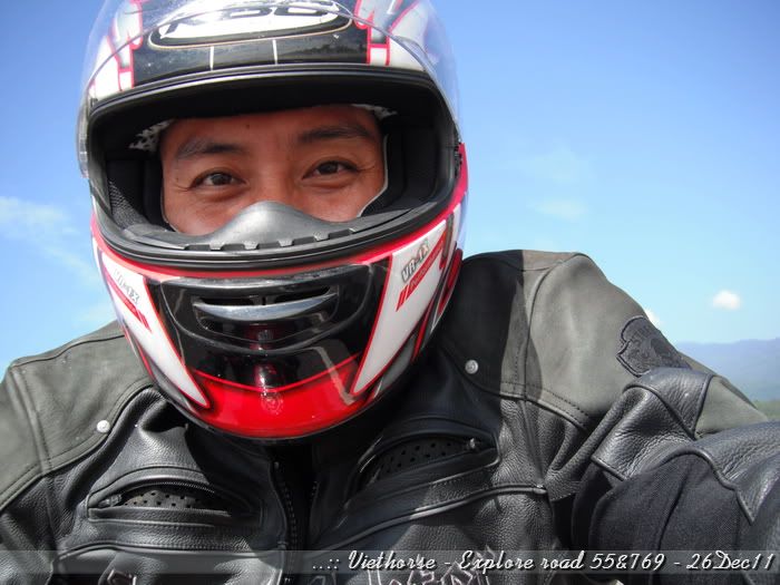
None checks. I checked myself:
[image: Posted Image]

Cool:
[image: Posted Image]

Eck... Is it cool!? I don't think so!!
[image: Posted Image]

Dude, don't you want to make a macro photo???!!!
[image: Posted Image]

Hard time for checking, roads still ahead..
[image: Posted Image]

(to be continued...)
#6

[image: View Post]VietHorse, on 19 January 2012 - 11:41 PM, said:
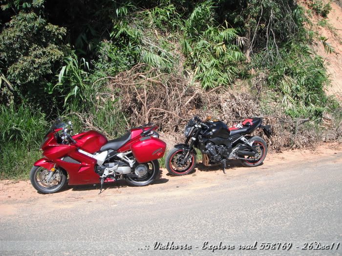
Long radius:
[image: Posted Image]
Nice :fing02:

Do you have seasons in Vietnam or can you ride all year round temperature wise? Maybe only monsoon season?
#7
man, you get out alot.  Heal quickly.
#8

[image: View Post]V4 Rosso, on 20 January 2012 - 05:08 AM, said:


Nice :fing02:

Do you have seasons in Vietnam or can you ride all year round temperature wise? Maybe only monsoon season?
In general, Vietnam divides into two parts regarding weather.
- Northern part, we have four seasons very separately - Spring, Summer, Autumn, Winter. Riding could be good within end of Spring, whole summer and Autumn. We so called having no snow in the country, except some very small highland part at very north, and the snowing just appears for some days in the year only. The normal winter in northern of Vietnam is lowest not lower than 6-8 degree Celsius. Hottest in summer may be around 45-46 degree Celsius on the road.
- Southern part, we have two seasons - raining season and dry season. We could ride of course through out dry season, and we still have quite numbers of weather windows for riding during raining season.
Monsoon season is used for our offshore area only. Monsoon season in Vietnam prolongs from October until March of the following year.
Not so many people in Vietnam aware of the "monsoon" season. Lucky me that I was working offshore for couple of years and experienced that damn high wave and swell season.

[image: View Post]timmythecop, on 20 January 2012 - 05:27 AM, said:
man, you get out alot.  Heal quickly.
Thanks man, I am trying my best. Hope none give me a clap on my shoulder during this Holiday season... hehe...
#9
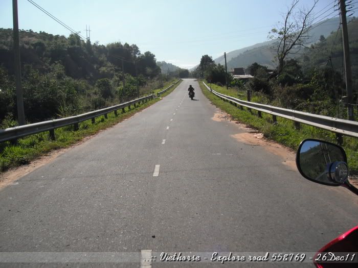
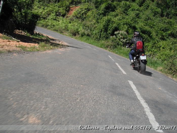
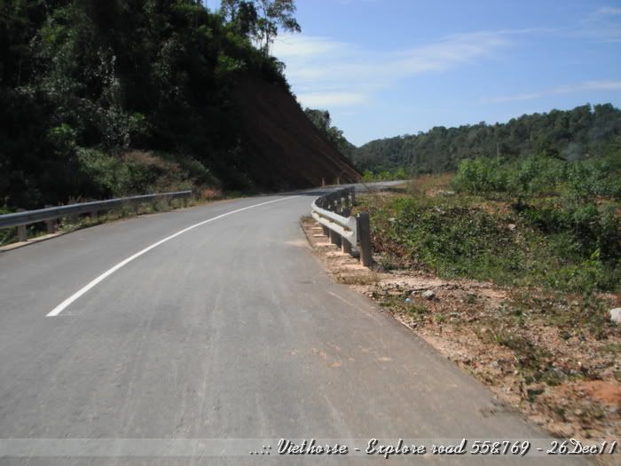
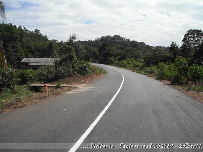
Bending roads still ahead...:
[image: Posted Image]

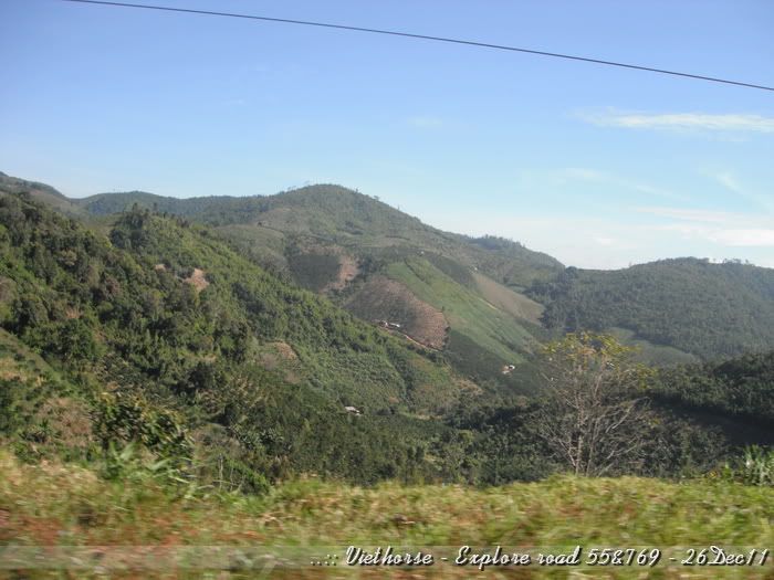
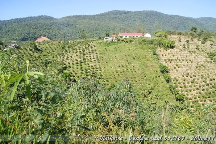
All mount and forest are around:
[image: Posted Image]

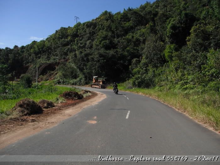
Sign of road repair:
[image: Posted Image]

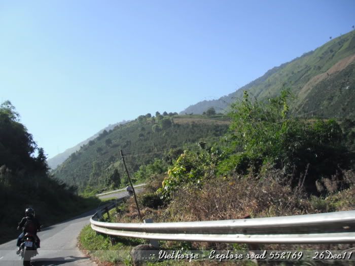
Left side is very deep chasm:
[image: Posted Image]

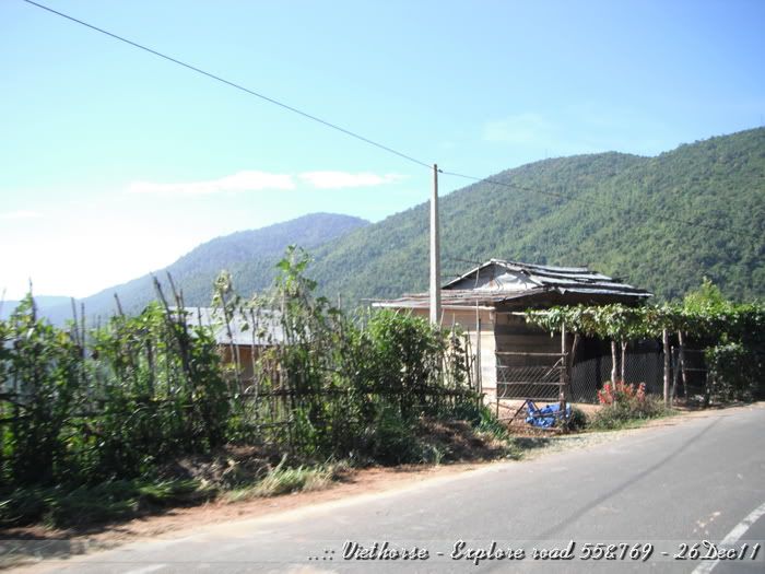
Some small houses beside the road:
[image: Posted Image]

[image: Posted Image]

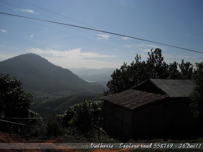
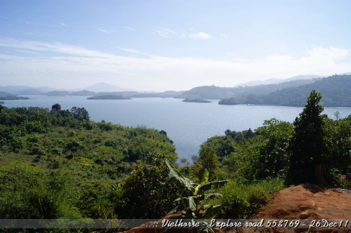
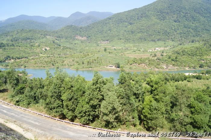
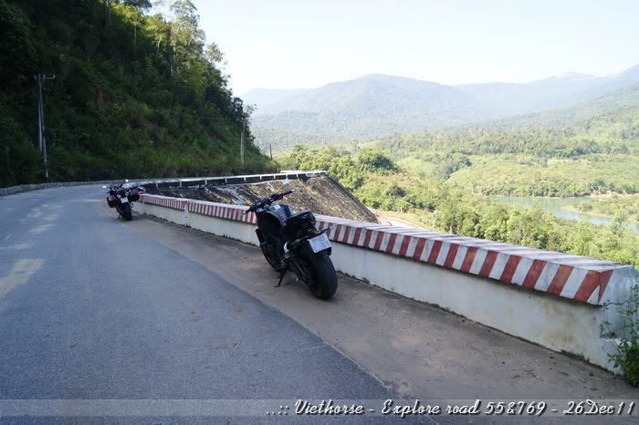
The view suddenly wide opened on the left, it seemed the hydro-power plant lake.:
[image: Posted Image]

Yeah, it's. A nice lake within a valley:
[image: Posted Image]

We stopped for some photos:
[image: Posted Image]

After some mins discovering, we realized that 's only the beginning part of the hydropower lake.
We kept riding on..
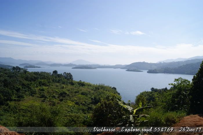
After abt 10mins, we saw this::
[image: Posted Image]

[image: Posted Image]

[image: Posted Image]

[image: Posted Image]

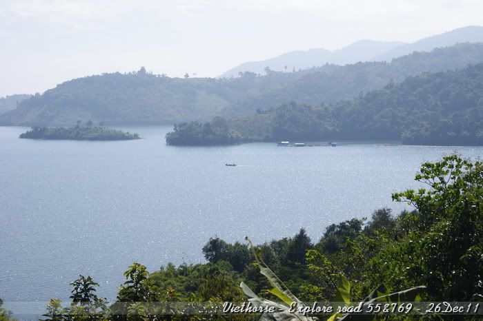
And that's lake:
[image: Posted Image]

Photos may not be able to express all the beauty of this area:
[image: Posted Image]

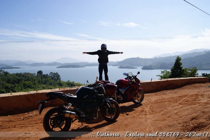
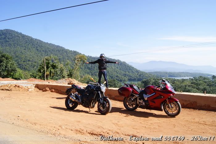
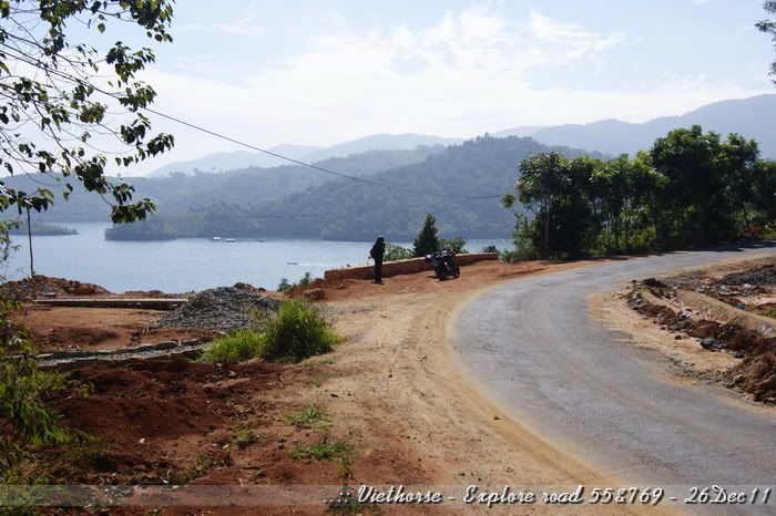
We were here:
[image: Posted Image]

[image: Posted Image]

[image: Posted Image]

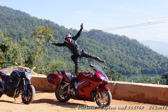
Damn... I seemed to start flying... and forgot abt landing... sh*t...
[image: Posted Image]

(to be continued..)
#10
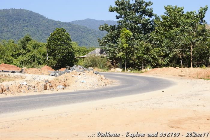
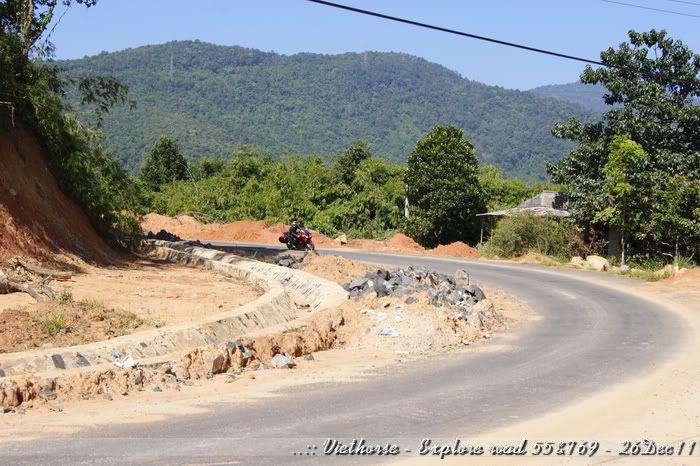
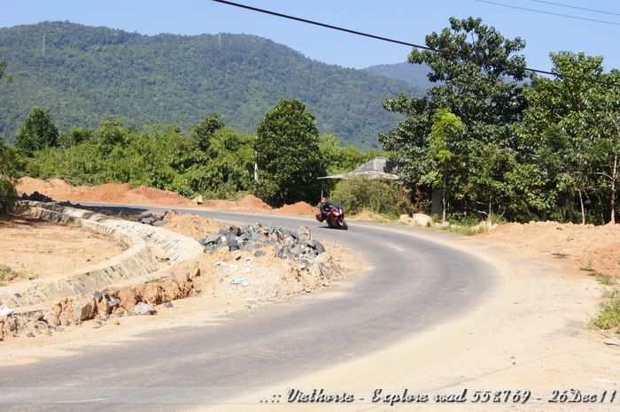
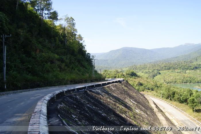
View of a bend which is still under construction. They seemed doing the repair of the drainage canal:
[image: Posted Image]

The lake on the left:
[image: Posted Image]

[image: Posted Image]

View from the lake side:
[image: Posted Image]

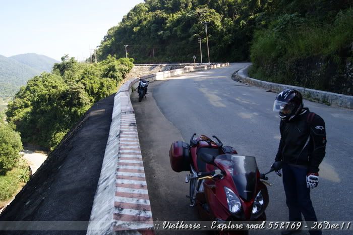
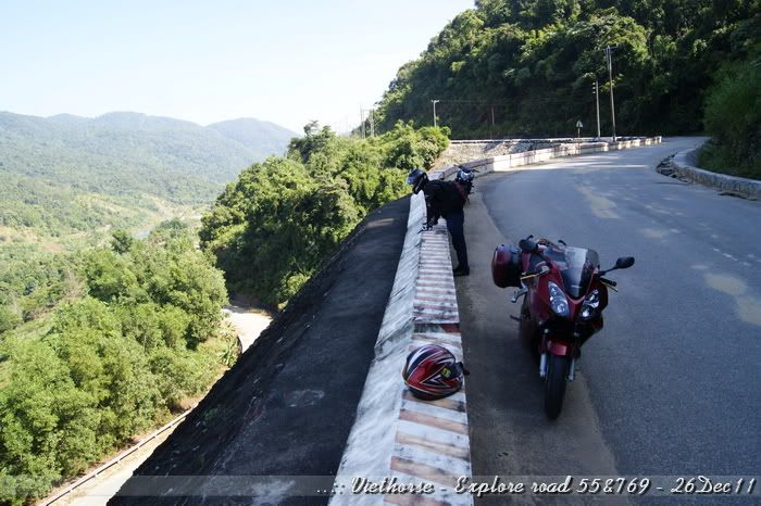
I was back-up to pose some shots:
[image: Posted Image]

Seeya...
[image: Posted Image]

Here I come:
[image: Posted Image]

[image: Posted Image]

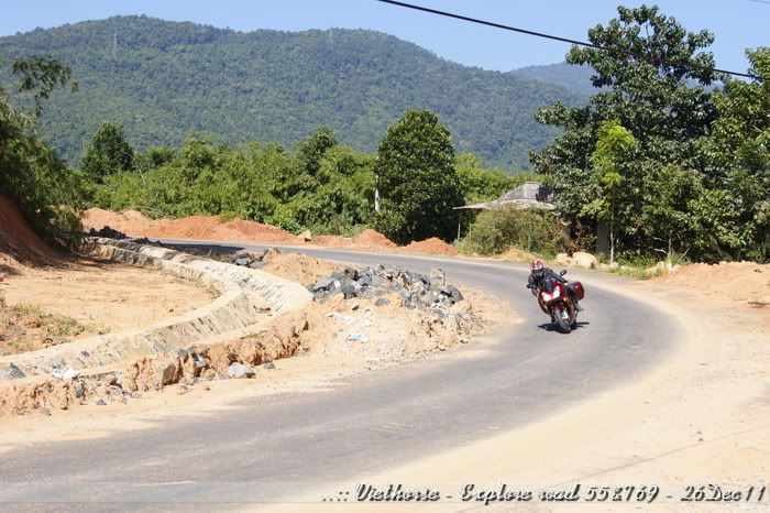
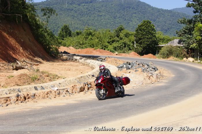
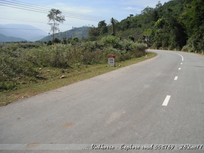
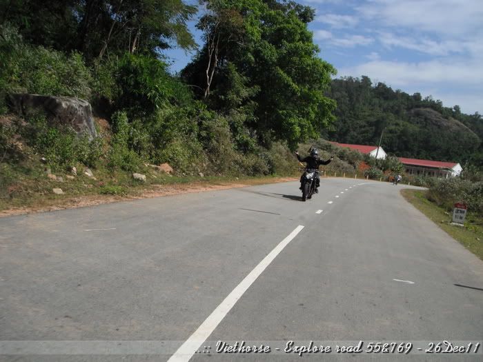
Even though I already knew the road condition but I still feel uncomfortable when passing all the damn big rock with sand at the side - so don't dare to put my knee down:
[image: Posted Image]

[image: Posted Image]

Anyway, It was nice experience...

(to be continued...)
#11
Kept riding for 15mins, we reached end of the lake, looked for some locals to ask for the roads:
[image: Posted Image]

Rode straight for a while, saw this dam:
[image: Posted Image]

Down there is the road to the power plant:
[image: Posted Image]

Stopped for a while. I did shout very loud, hear the voice come back from the mounts...
[image: Posted Image]

[image: Posted Image]

[image: Posted Image]

Road is under repair:
[image: Posted Image]

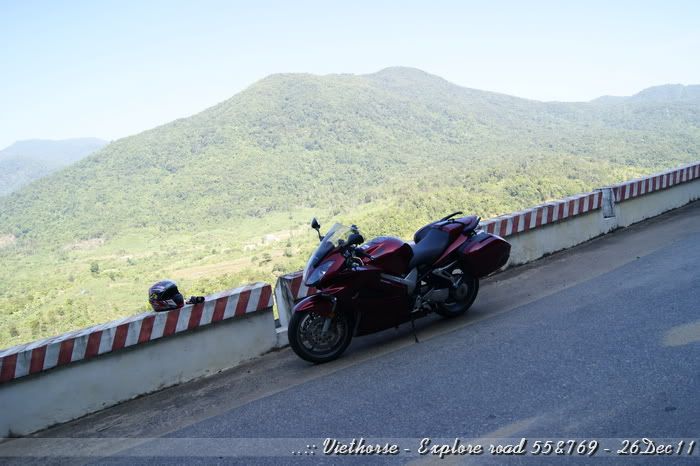
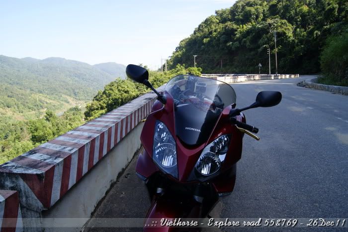
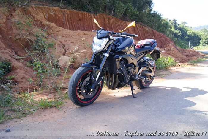
My bike:
[image: Posted Image]

[image: Posted Image]

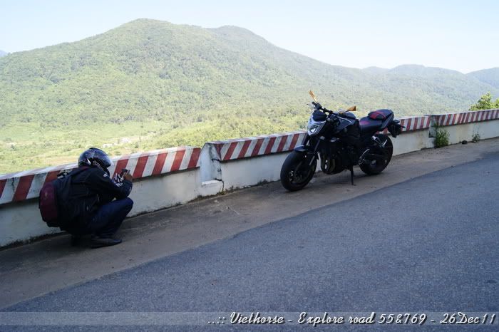
Here's how my friend takes fotos:
[image: Posted Image]

[image: Posted Image]

[image: Posted Image]

[image: Posted Image]

Planned to ride for abt 2-30km more, then find some stops for drink.
(to be continued...)
#12
Again nice pics. I could do with a bit of sunshine.

[image: View Post]VietHorse, on 22 January 2012 - 06:00 AM, said:
Even though I already knew the road condition but I still feel uncomfortable when passing all the damn big rock with sand at the side - so don't dare to put my knee down:
Ever watched the real road racers, like the ones competing in the IOM TT or NorthWest 200? They never get their knee down on the street and are going way faster then the weekend warriors that do.
#13
I don't meant drag my knee, Rosso. Just lower my knee which facing inside the bend. :smile:
Practically, when lowering the "inside" knee, I could gain more speed when cornering.
#14
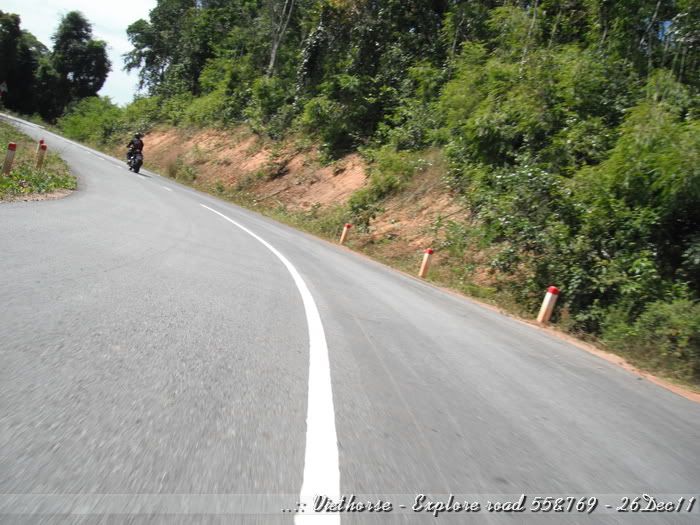
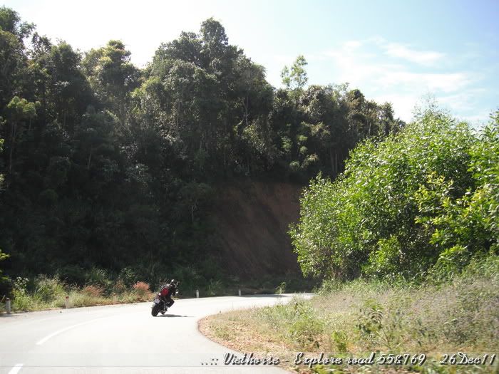
:fing02: there is not much weight in your knee anyway :biggrin: , getting your upper body to the inside makes much more of a difference, like in this pic:

[image: View Post]VietHorse, on 22 January 2012 - 06:00 AM, said:
[image: Posted Image]

#15
Forgot to put some water bottle in saddle bags, we felt thirsty and need a stop for drink.
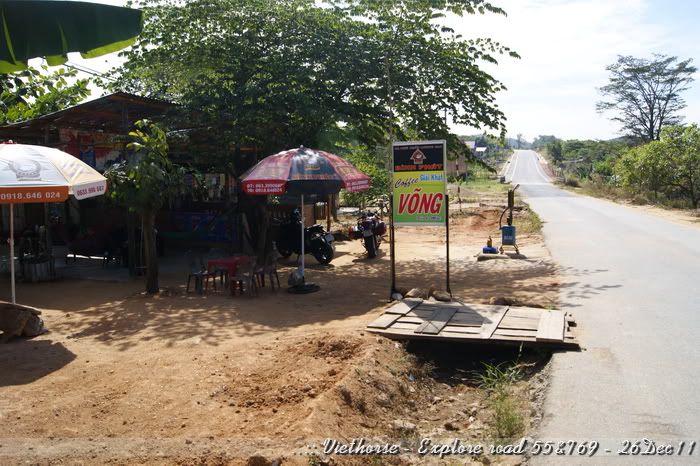
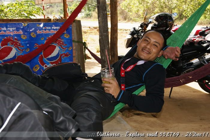
Left the dam abt 20km, we reached the citizen area, here's a coffee stop we took a rest:
[image: Posted Image]

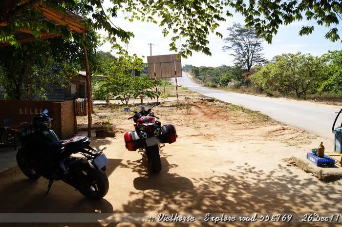
First time in the day both bikes under a shade:
[image: Posted Image]

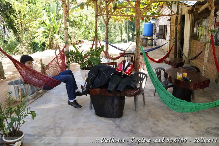
wow... what a rest place...
[image: Posted Image]

Here's stop co-ordination, just in case someone passing by... hehe!
Lat: 11°15'2.50"N
Lon: 107°51'24.90"E


It's quiet, cool, there was a small stream behind the house.... feel sleepy...!
[image: Posted Image]

Stayed there for almost 30mins... Well, need to be on road anyway:
[image: Posted Image]

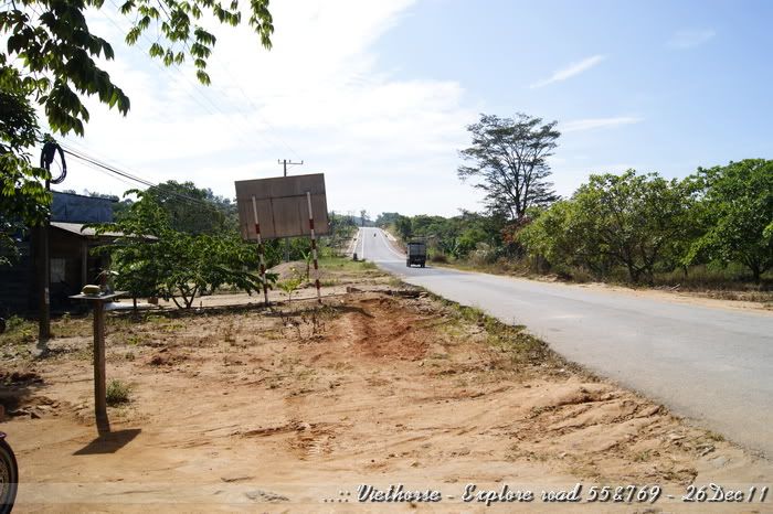
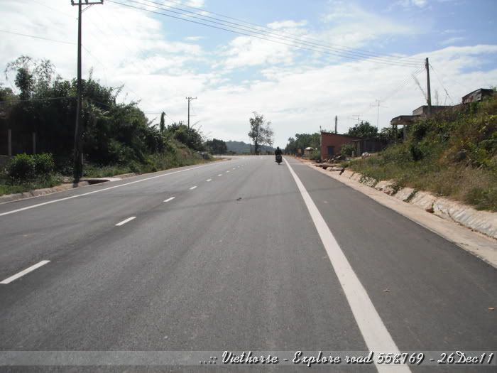
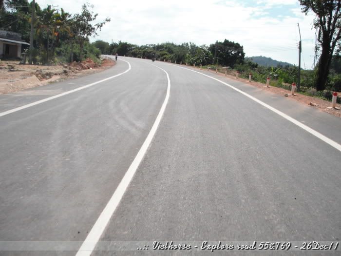
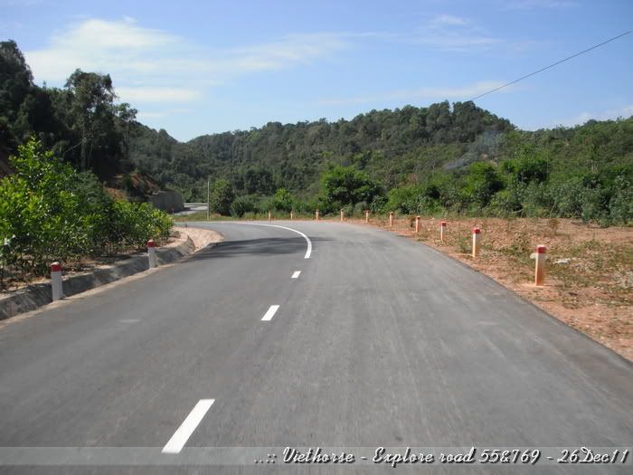
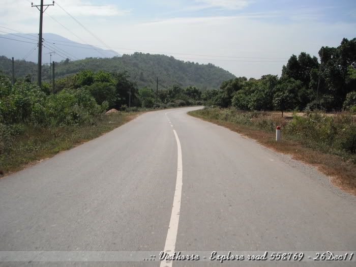
New built road:
[image: Posted Image]

[image: Posted Image]

Yeah, It's not my friend:
[image: Posted Image]

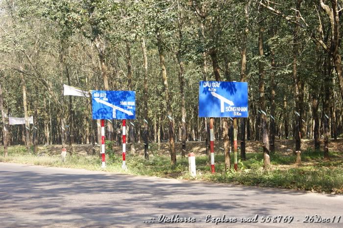
Oops... Saw the signboard, but both ways are to strange places!:
[image: Posted Image]

Stopped for asking again:
[image: Posted Image]

Yup, if turning right, we will be heading to another hydropower plant. So we choose the option going straight:
[image: Posted Image]

[image: Posted Image]

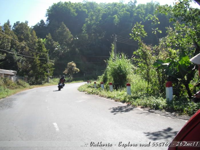
It's started to bend...
[image: Posted Image]

[image: Posted Image]

[image: Posted Image]

[image: Posted Image]

[image: Posted Image]

[image: Posted Image]

(to be continued...)
#16
Some more photos of the road:
[image: Posted Image]

[image: Posted Image]

[image: Posted Image]

[image: Posted Image]

[image: Posted Image]

[image: Posted Image]

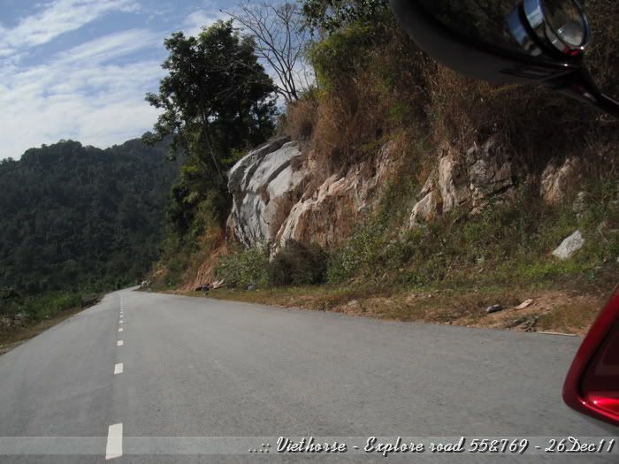
The rock looks like the one I saw on Mullholand video::
[image: Posted Image]

A straight road with some nice trees along the sides, it's flowers looked like some snow:
[image: Posted Image]

[image: Posted Image]

[image: Posted Image]

[image: Posted Image]

[image: Posted Image]

[image: Posted Image]

[image: Posted Image]

[image: Posted Image]

Then we stopped for lunch. Was too hungry so did not have any photos there.
#17
Lunch and rest for more than an hour, we started to head back
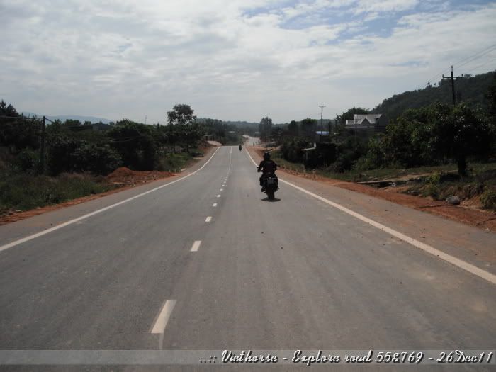
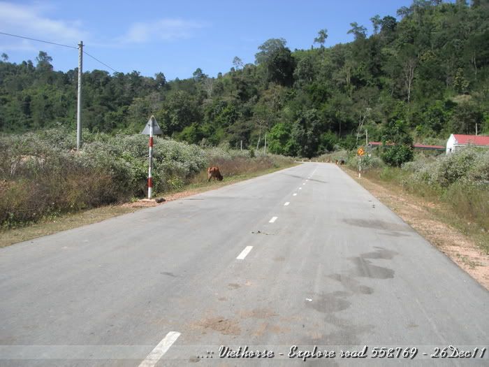
A new road - not really a new one - just the one our bikers not normally ride on as it was known as a bit further than other. It's TL769.

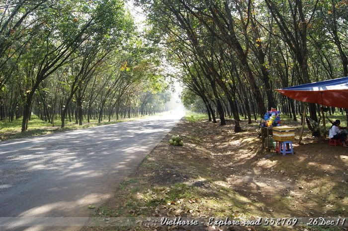
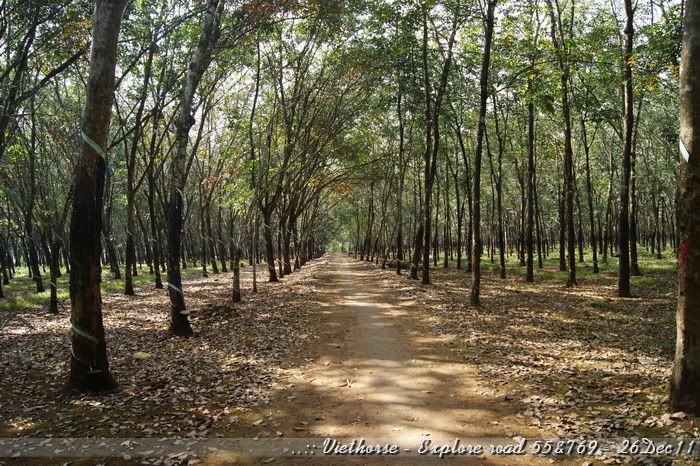
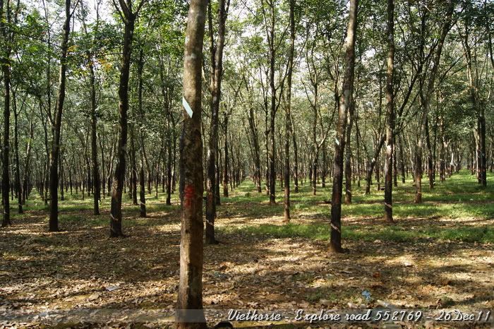
Beginning part of TL769 showed us a quite good road.  Fewer and fewer houses beside the road. Replaced with rubber tree forest.
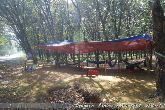
We stopped for some drinks at a small temporary inn:
[image: Posted Image]

Hmmm..... Firs time in my life I see such kind of duplication.
[image: Posted Image]

Here 's our way home:
[image: Posted Image]

Small trail in the rubber tree forest - dirt bike riders would like this very much:
[image: Posted Image]

[image: Posted Image]

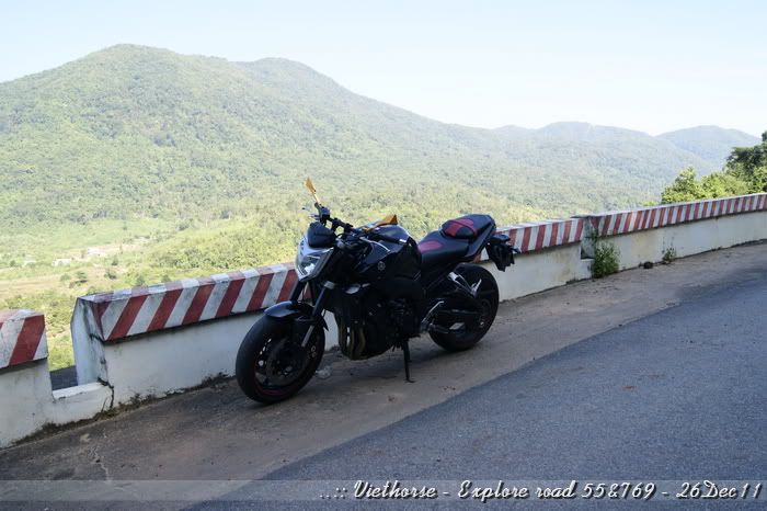
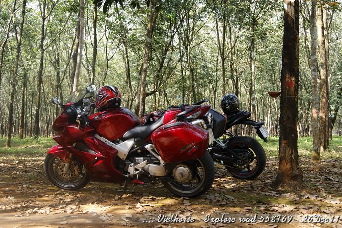
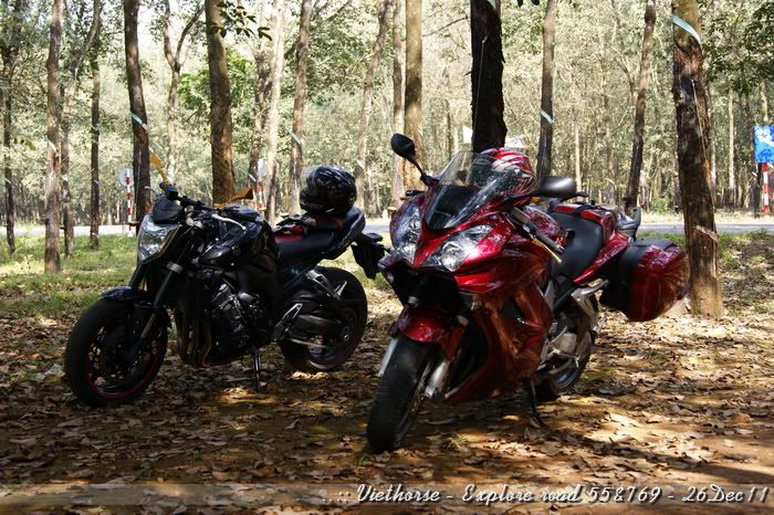
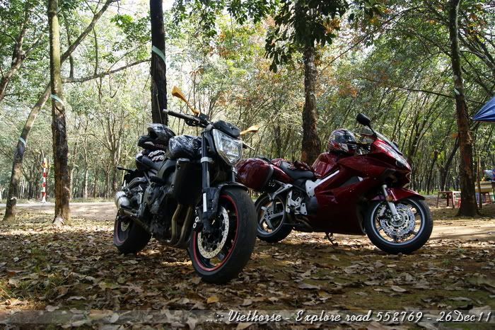
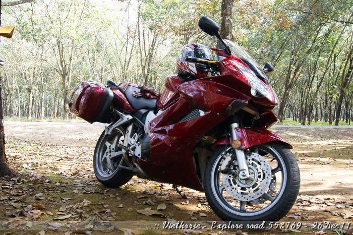
Our lovely bikes:
[image: Posted Image]

[image: Posted Image]

[image: Posted Image]

[image: Posted Image]

Sit there for less than 30mins, straight to home.
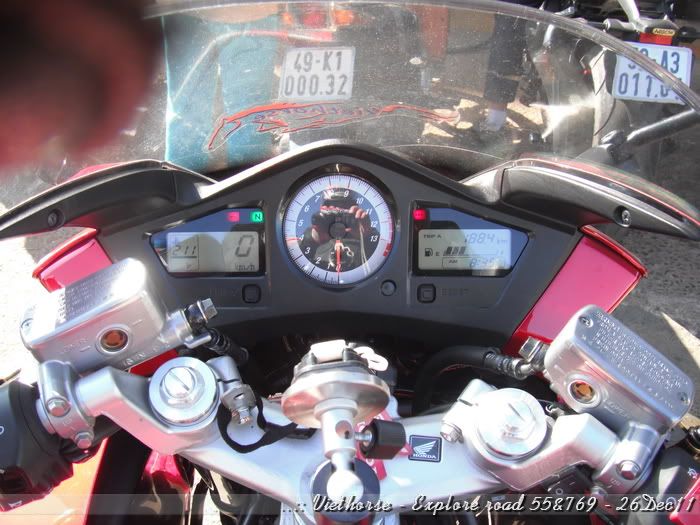
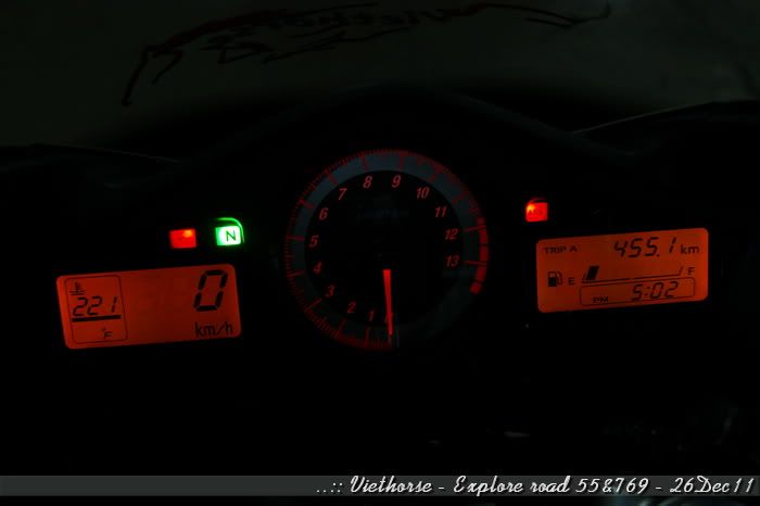
I got home abt 17hrs with the Trip A was 445.1km
[image: Posted Image]

Dude, it's exactly same as what I recorded from my Garmin handheld GPS:
[image: Posted Image]

That's all for our trip to check out the new roads, new routes actually.
Posting this while the trip had been done and I am unable to ride due to a bad landing... Really miss my bike, the road and the feeling of cornering...
Thanks for watching!
VietHorse.
End of thread · 17 posts recovered Wayback Machine snapshot 18 Jun 2012